Bomb Cyclone to Slam Vancouver Island: Prepare for High Winds, Flooding, and Power Outages
A powerful low-pressure system, potentially qualifying as a bomb cyclone, is set to make landfall on Vancouver Island, bringing with it a potent cocktail of severe weather conditions. The storm, expected to hit Tuesday afternoon and persist into Wednesday, is predicted to unleash a torrent of rain, ferocious winds reaching up to 100 kilometers per hour, and significant snowfall in higher elevations. Coastal areas will be at high risk of flooding, and widespread power outages are expected.
The Weather Network's meteorologist Tyler Hamilton emphasizes that while the term "bomb cyclone" might sound alarming, the storm's peak intensity will be about 500 kilometers off the Island's west coast. Nonetheless, he notes, "You’ll feel it, there will be some impacts." The impact will be similar to strong windstorms experienced earlier this month. Hamilton stresses the importance of understanding that "bomb cyclone" is a specific meteorological term, often misrepresented on social media.
Intense Winds and Widespread Power Outages
The storm's most immediate threat is its high winds. Forecasters predict gusts could reach 100 kilometers per hour in areas such as the Comox Valley and Tofino, while Greater Victoria could experience winds of up to 90 kilometers per hour. These strong winds, says Hamilton, are likely to persist for an extended period, potentially lasting for nine to 14 hours. He confirmed that "There will be wind warnings issued associated with this." This prolonged exposure to high winds is likely to cause widespread power outages and extensive delays to BC Ferries operations. Hamilton stated unequivocally that ferry cancellations and power outages are “guaranteed,” due to the low-pressure system's large pressure gradient. Hundreds of thousands of people could potentially experience power disruptions. He estimates that as many as 100,000 Hydro customers could be left without power across the south coast. Those who plan to travel are urged to check BC Ferries and BC Hydro websites for updates before departure.
Expected Wind Speeds
Data from the RGEM guidance offers a more precise look at projected wind speeds across different locations on Vancouver Island:
- Comox (YQQ): 101 km/h
- Campbell River (YBL): 85 km/h
- Tofino (YAZ): 89 km/h
- Nanaimo (YCD): 65 km/h
- Victoria (Gonzales): 90 km/h
- Victoria (YYJ): 78 km/h
- Denman-Lantzville: 90 km/h
Heavy Rainfall and Coastal Flooding
In addition to the high winds, the storm is expected to bring significant rainfall. The west coast of the island could see up to 100 millimeters of rain, while other regions could experience 50 millimeters or more. This heavy rainfall, combined with the occurrence of king tides on Tuesday and Wednesday, increases the risk of flooding in low-lying coastal areas. Communities such as Campbell River and Victoria are particularly vulnerable to storm surge flooding during this period. The intensity of the precipitation is expected to intensify significantly, potentially bringing considerable disruption to the region.
Significant Snow Accumulation in Mountainous Areas
High-elevation areas are predicted to receive substantial snowfall, with potential accumulations reaching up to 100 centimeters in some locations. The low freezing levels will extend the risk of snow to lower elevations. Mount Washington ski resort anticipates receiving a significant amount of snow, potentially as much as a metre, with snowfall rates possibly exceeding 10 centimeters per hour. The intensity of the snow is a major cause of concern for authorities.
Big Waves and Extreme Surf Conditions
The intense low-pressure system will generate large waves, making for spectacular (but dangerous) wave-watching along the coast, particularly in Tofino. Hamilton predicts wave heights could reach eight to 12 meters. The region will face exceptionally challenging marine conditions.
Preparing for the Storm
Residents of Vancouver Island are urged to take necessary precautions and prepare for potential disruptions to essential services. Those living in coastal areas should be particularly vigilant about the risk of flooding. Securing loose objects outdoors and preparing emergency kits is advised. Hamilton recommends that any storm preparation be completed by Tuesday afternoon to allow time before the winds begin to intensify. The intensity of the storm mandates serious preparation.
A Storm for the Ages: Impacts Beyond Vancouver Island
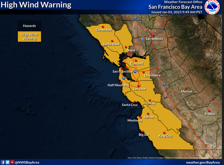
The repercussions of this powerful storm are not limited to Vancouver Island. The impacts will be felt southward to Oregon and California. Heavy rain and high winds will affect these regions. An atmospheric river will accompany the storm, resulting in heavy rain in California and Oregon. The extended reach of this storm emphasizes the scale of this weather event.
It's important to remember that while this storm shares similarities with the historic October 2021 storm, it will remain offshore, mitigating the worst impacts. However, it is still advisable to prepare for a severe weather event. Stay informed and be aware of the potential dangers associated with this storm. Remember to check official weather forecasts and advisories for the latest updates.


