The monsoon season continues to bring showers and thunderstorms to Southern Colorado, and the Pikes Peak region is no exception. While Monday saw a large swathe of strong storms rolling across the region, Tuesday is forecast to be a little calmer, though not without its own weather threats.
After a really stormy Monday, storms will be less widespread on Tuesday and less intense as the monsoon influence lessens across Southern Colorado. Storms will develop early this afternoon over the mountains before moving east into the Plains late this afternoon and evening.
Storms will be fairly spotty today across the Pikes Peak Region, with a better chance for showers and storms south of Highway 50. In these areas, large hail, gusty winds and heavy rain will be possible, and outdoor plans could be greatly impacted.
Here's a breakdown of the forecasts for specific areas:
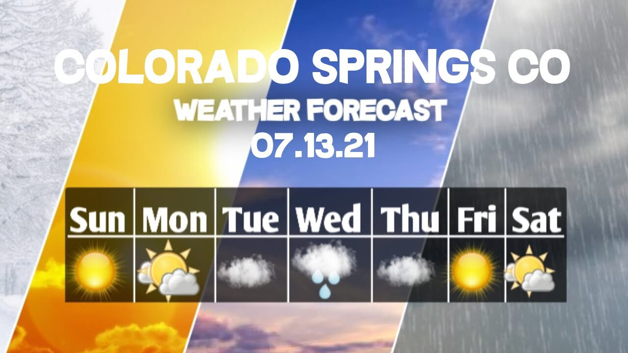
Colorado Springs Forecast
Colorado Springs is expected to have a hot and humid day with partly cloudy conditions. Highs will top out at around 89 degrees, with lows in the low 60s. While storms are less likely to be widespread compared to Monday, there is still a chance for an afternoon shower or thunderstorm.
Pueblo Forecast
Pueblo is looking at a hot day, with temperatures soaring to the mid-90s. The morning will start sunny, but clouds will increase throughout the day, leading to the possibility of a few thunderstorms in the late afternoon and evening hours. Lows will settle in the low 60s.
Canon City Forecast
Canon City will experience warm temperatures and partly cloudy skies. Highs are expected to reach the low 90s. After a day of severe storms on Monday, Tuesday's storms are expected to be less impactful and more spotty in coverage. Low temperatures will be in the mid-60s.
Woodland Park Forecast
Woodland Park will be a mix of sunshine and clouds. The morning will be mostly sunny, but spotty to scattered thunderstorms are possible in the afternoon. The main threat from these storms will be heavy rain and frequent lightning. Highs will reach the low 80s, with lows around 50 degrees.
Tri-Lakes Forecast
The Tri-Lakes area will experience warm summer temperatures with partly cloudy conditions. There is a chance for an isolated shower or two in the afternoon and evening, mainly along and near the Palmer Divide. Severe weather threats will be less pronounced compared to Monday.
Plains Forecast
The Plains will see hot and humid conditions, with temperatures reaching the high 80s to low 90s. Spotty afternoon thunderstorms are possible, but severe threats are expected to be lower due to increased atmospheric stability. However, any storms that do reach severe levels on the southeastern Plains could produce large hail and damaging wind gusts.
Walsenburg and Trinidad Forecast
Walsenburg and Trinidad will start the day with mostly sunny skies. The afternoon will see a chance of scattered thunderstorms. Highs will be in the 80s and 90s, while lows will be in the 50s and 60s.
Mountains Forecast
The mountains will have a sunny morning before skies become unsettled and stormy in the afternoon. Storms are capable of heavy rain, small hail and frequent lightning. Highs will be in the 70s and 80s, while lows will be in the 40s and 50s.
Looking Ahead
The monsoon moisture is expected to return Wednesday, bringing a higher chance of rain for at least Wednesday and Thursday. There is a possibility of an isolated storm on Friday, but the region is expected to start drying out again by the weekend. Temperatures on the Plains will remain around 5 degrees above average throughout the weekend before cooling closer to average early next week.
A Shift in the Weather Pattern
The decrease in monsoon influence will lead to a calmer day overall, with less widespread and intense storms. This is a welcome change for those seeking relief from the heavy rains and potentially severe weather that impacted the region on Monday. However, it's important to remain alert for any sudden changes and to be prepared for the possibility of spotty showers and thunderstorms throughout the day.
While the severe weather threat will be lower on Tuesday, it's still crucial to be aware of potential hazards like large hail, gusty winds, and heavy rain. Stay informed about the latest forecasts and be prepared to adjust outdoor plans if necessary.