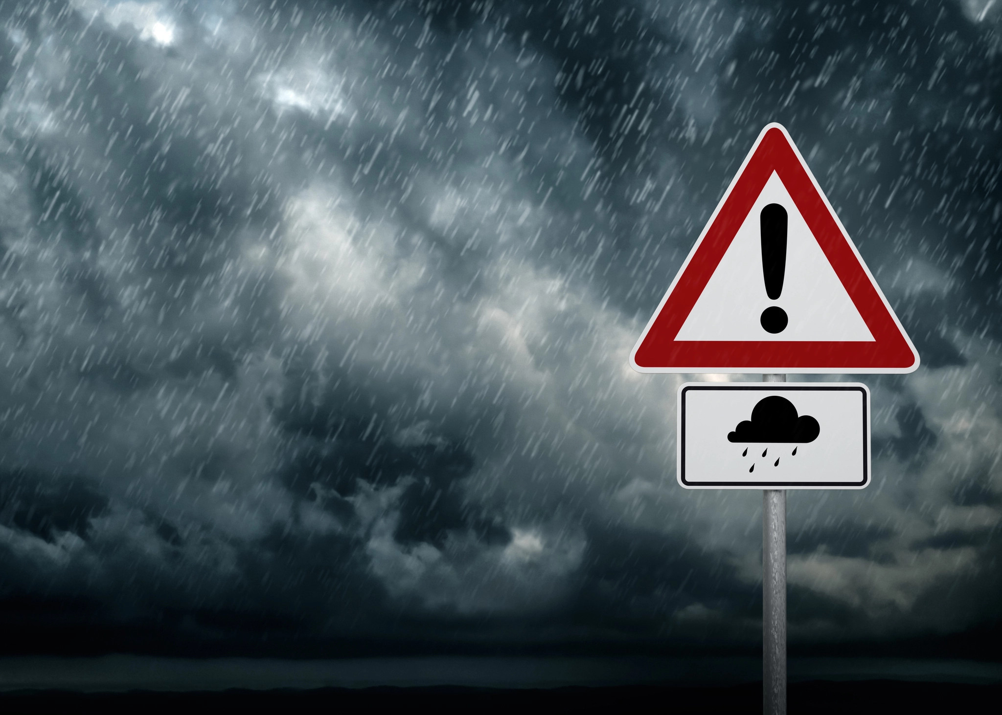
The county could see heavy rain deluges and lightning for a second day in a row. Loud cracks of thunder and flashes of lightning accompanied heavy downpours on Thursday and there could be more of the same weather today in Gloucestershire (Friday, September 6). The Met Office has activated a severe weather warning for rain in parts of the county until 11.59pm today.
Heavy rain could lead to some travel disruption, the forecasters warn. There is also a 'small chance' that fast flowing or deep floodwater could cause a danger to life, although there are no flood warnings or alerts in place from the Environment Agency.
Areas of Gloucestershire included in the warning zone include Gloucester, Cheltenham, Stroud, Forest of Dean, Newent, Stroud and parts of the east and south Cotswolds. Tewkesbury and Winchcombe are outside the yellow alert area.
Met Office meteorologist Aidan McGivern said: “The outbreaks of rain that we’ve seen arrive through Thursday across the south and south west will essentially keep going during Friday and into the weekend. There will be ebbs and flows in the rainfall. There’ll be pulses of heavier rain at times and then lighter rain at times.”
The deluge of rain will continue across the UK, forecasters have said as four flood alerts were issued. Properties may flood and there may be travel disruption” in parts of the country.
Low-lying roads and footpaths by the Thames are expected to flood from Putney Bridge to Teddington Weir, west London, when the river reaches high tide at 5.30pm, according to the Environment Agency.
It warned people to prepare for floods from London to the west of England on Friday. It put the high water levels down to “spring tides”.
People near the Lower Avon river, south-west England, were told to “consider activating any property flood protection products.”
More rain is set to fall which could raise the Lower Avon’s levels and the Ringwood, Christchurch and Moyles Court areas are most at risk.
Flooding on low-lying land and roads is possible on Friday evening and into Saturday near the rivers Clyst and Culm, in Devon.
A flood alert also remains in place in Scrase Bridge and West Common Streams near Haywards Heath, West Sussex.
EA said both rivers had returned to near normal following “intense” rainfall on Thursday but further showers are expected and “any river rise and flooding will likely occur quickly following intense downpours”.
Jason Kelly from the Met Office said:
The rain will be persistent for some and may be particularly heavy in a few places. Rainfall totals of 15-30mm are expected widely, however, the wettest areas are likely to see 40-60mm through the whole of Friday, with a lower likelihood of a few areas seeing as much as 75-100mm.
In addition, rain may well be accompanied by thunderstorms across the southwest during the early hours of Friday morning and during the afternoon and evening, across the southeast.
Travel Disruptions
The Met Office warns that heavy rain may lead to some travel disruption and flooding in places across southern England and southern Wales during Friday. Commuters are warned to expect spray and sudden flooding, leading to difficult driving conditions and some road closures.
A North-South Divide
The UK is experiencing a stark weather divide, with southern England and Wales facing heavy rain and possible flooding, while the north enjoys warm and sunny conditions. The Met Office reports that temperatures could reach up to 27C in parts of the Midlands and East Anglia, and 25C in Manchester and the north west. Western Scotland is set for a very warm Friday, with temperatures of 25C in Fort William and 23C in Glasgow and Ullapool.
Flood Alerts and Warnings
Six flood alerts have been put in place for areas in the south and south west of England. River levels are expected to rise as the many parts of southern England experience a second consecutive day of heavy rain. The Environment Agency has issued flood alerts for:
- The River Thames between Putney Bridge and Teddington Weir
- The Lower Avon
- The rivers Clyst and Culm, in Devon
- Scrase Bridge and West Common Streams near Haywards Heath, West Sussex
- The Ringwood, Christchurch and Moyles Court areas
A flood alert means flooding is possible but not certain - it is the least severe flood notice issued by the Environment Agency, after flood warning and severe flood warning. Residents in affected areas should have a food plan, medications and insurance documents ready.
Looking Ahead
The Met Office says the UK will experience a “mixed outlook” for the weekend, with southern England continuing to see pulses of heavy rain. However, the north will enjoy sunny skies and temperatures “well above average”, reaching up to the mid twenties in western Scotland on Saturday. Next week, “fresher, cooler temperatures” will sweep across the UK. The north can expect a “notably cool” period by mid-week.
Staying Safe
The Met Office advises the following to stay safe during the heavy rain:
- Leave extra time for travel.
- Check for weather updates.
- Drive to the conditions of the road.
- Pay attention to signs on the road.
The Met Office will continue to monitor the situation and issue further warnings as necessary. Stay informed and be prepared for the potential impacts of heavy rain and flooding.