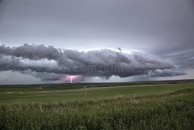
A slow-moving trough will continue to bring a widespread risk of thunderstorms across portions of the Prairies on Wednesday. The main threats will be heavy downpours and strong wind gusts, with a focus on stronger storms potentially developing along the Saskatchewan and Manitoba border through Wednesday afternoon.
MUST SEE: Why nocturnal thunderstorms can be particularly dangerous
With summer vacation still in full swing for many, residents are urged to stay up-to-date on the weather warnings in affected areas, and to adjust any outdoor plans if severe weather hits.
As the trough slowly tracks through Saskatchewan, the overnight thunderstorms are likely to carry through into Wednesday morning across southeastern Saskatchewan and western Manitoba. Heavy rain and strong wind gusts will be the primary threats.
Through the afternoon, areas along the Saskatchewan and Manitoba border are likely to see the stronger storms develop.
Other areas of non-severe storms will be centred on the Alberta foothills and across the northern regions of the Prairies.
SEE ALSO: Jasper residents to return on Friday after wildfire forced mass evacuation
Stay alert to the changing conditions in your area, and adjust any outdoor plans accordingly.
More storms are expected develop during the afternoons and evenings through the weekend, and again during the middle and end of next week across the southern and central Rockies and foothills. Most of those days the storms will spread east across the high plains of Alberta with a risk for strong to severe storms and localized heavy rain.
Very warm to hot weather will return this weekend and continue through most of next week, especially across western and southern parts of the region early week. The focus of the warm weather should then shift east during the second half of the week.
Be sure to check back for the latest weather updates across the Prairies.


