SA Weather Emergency: Severe Thunderstorms, Flooding, and Extreme Heatwave Warning Issued!
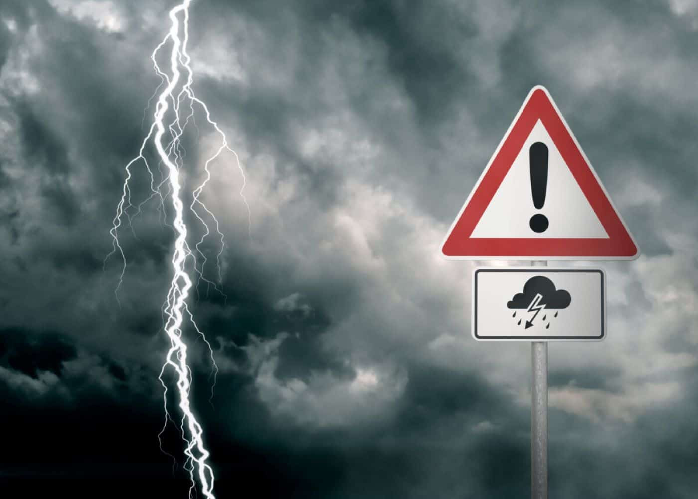
The South African Weather Service (SAWS) has issued urgent warnings for a heatwave and severe thunderstorms impacting various regions across the country. High temperatures are anticipated to soar through the North West, Limpopo, Gauteng, Mpumalanga, and the Free State, setting the stage for what could become one of the hottest spells felt nationwide. A Yellow Level 2 warning has been issued for severe thunderstorms causing heavy downpours, large amounts of small hail, strong damaging winds, and excessive lightning. These conditions are expected to result in localized flooding of susceptible settlements, roads, and low-lying areas, localized damage to properties, and localized disruptions to municipal services.
Impacting Regions and Warnings
According to SAWS, the affected regions are experiencing persistently high temperatures with warnings particularly aimed at the North West, the eastern and central parts of the Free State, and southern parts of Limpopo. Gauteng and the extreme southwestern parts of Mpumalanga are also poised for exceptionally warm conditions. The ominous forecast doesn’t end with heat; severe thunderstorms are on the horizon. The areas most at risk are Gauteng, the eastern parts of the North West and Free State, parts of Mpumalanga, and western Bushveld of Limpopo, as well as the northern parts of KwaZulu-Natal.
Localized Impacts
The severe thunderstorms pose a significant threat, with the potential for localized flooding, damage to properties, and disruptions to municipal services. Residents in these areas should take precautions and be prepared for potential power outages and disruptions to daily life.
Preparing for the Extreme Weather
The Department of Agriculture, Land Reform and Rural Development (DALRRD) has also issued advisories, warning of the potential impacts on agriculture. They are advising farmers to manage livestock numbers according to the carrying capacity of the veld and to provide additional feed. This is particularly important given the increased risk of pests and diseases associated with hot, wet conditions. Ensuring adequate water sources and shelters for livestock is also crucial. The threat of veld fires is also heightened, especially in winter rainfall regions that are now drying out. The DALRRD stresses the importance of maintaining fire belts and adhering to veld fire warnings.
Provincial Weather Forecasts
Here's a breakdown of the weather forecasts for various provinces:
- Gauteng: Partly cloudy and warm to hot weather with scattered showers and thundershowers. High temperatures are anticipated.
- Mpumalanga: Partly cloudy and warm to hot weather with isolated to scattered showers and thundershowers, except in the northeast. Very hot to extremely hot conditions are expected in the Lowveld.
- Limpopo: Partly cloudy and hot to very hot weather with isolated to scattered showers and thundershowers in the southwest. Extremely hot conditions are expected over the southern Lowveld.
- North West: Partly cloudy, windy, and hot weather with scattered showers and thundershowers.
- Free State: Partly cloudy, windy, and hot weather with scattered showers and thundershowers, but isolated in the south.
- Northern Cape: Fine, windy, and hot to very hot weather, becoming partly cloudy with isolated showers and thundershowers over the eastern parts. Warm weather is expected in the west.
- Western Cape: Cloudy in the southwest, otherwise partly cloudy and cool to warm, except in the northeastern parts.
- Eastern Cape (Western half): Cloudy with morning showers and rain, except in the extreme northwest, otherwise partly cloudy and warm, but cool in places along the coast.
- Eastern Cape (Eastern half): Partly cloudy and warm to hot weather in the north, otherwise cloudy and cool with scattered showers and rain. Scattered thundershowers are expected in the north, moving south of the escarpment in the afternoon.
- KwaZulu-Natal: Partly cloudy to cloudy and cool to warm, but hot weather in places in the northwest with scattered showers and thundershowers, but isolated in the extreme northeast.
Community Preparedness and Safety Advice
Areas anticipated to be affected by the extreme weather are taking precautionary measures. Communities are reminded of the need for readiness in the face of severe thunderstorms, which may lead to damage to properties and disruptions to municipal services. Heavy downpours and considerable amounts of small hail, alongside strong damaging winds and excessive lightning, could easily lead to localized flooding, particularly affecting vulnerable zones. Residents are urged to take precautions to protect themselves and their property, including staying indoors during severe weather, moving valuables to higher ground, and unplugging electrical appliances.
Looking Ahead: A Transition to Normalized Rainfall
Despite the current challenges, hope glimmers with the promise of rain. Following a season characterized by heatwaves, rainfall is expected to transition back to normalization. With this backdrop of extreme weather, South Africans are reminded of the importance of community, safety protocols, and resilience. The cooperation between officials and residents will be pivotal as the country navigates this unprecedented meteorological period.
Conclusion: Staying Informed and Safe
The South African Weather Service is urging residents to remain vigilant and stay informed about the latest weather updates. Staying updated on weather warnings is essential for ensuring personal safety and minimizing potential damage. Monitoring weather reports and following safety guidelines will prove invaluable as the country navigates through this intense weather event. Remember to check regularly for updates from SAWS and local authorities for specific regional advice and alerts.
This evolving situation demands constant vigilance, and adhering to safety protocols is paramount to mitigating any potential risks. The combination of extreme heat and severe thunderstorms necessitates preparedness and vigilance from all citizens.


