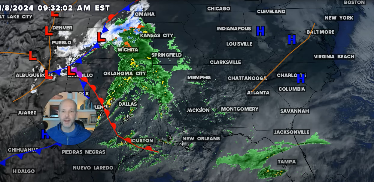
A lingering storm threat hangs over the Prairies, as a strong stateside system takes its time tracking through the region. Heavy rain will persist into Thursday, with the risk for more severe storms to bubble up. Back-to-back storm days have spanned much of the Prairies and parts of northwestern Ontario this week, with periods of flooding rain, strong winds, and even tornado warnings popping up to start the week.
Parts of southern Manitoba have already picked up more than 150 mm of rain, with the hardest-hit areas of Saskatchewan in line for significant totals into Thursday, as well. That's as a potent stateside system slowly moves its way eastward over the region.
As peak rainfall rates intensify on Wednesday, the deepening low will also create strong, northwesterly wind gusts across Alberta and Saskatchewan. There's the potential for more severe storms to spark up east of the centre of the low, as well, with parts of eastern Saskatchewan and southern Manitoba in line for the worst of the stormy conditions into Thursday.
It will be important to pay close attention to the latest alerts in case severe weather occurs. Have a plan in place to seek safe shelter in case severe weather threatens your home, your office, or while you’re driving.
Peak rainfall rates will pick up through Wednesday afternoon, with the heaviest rain expected in southwestern Saskatchewan. The deepening low will also create strong, northwesterly wind gusts across Alberta and Saskatchewan, with gusts up to 70 km/h possible throughout the day. The potential for severe storms will bubble up east of the centre of the low, with the cold front extending south into the Dakotas. While the thunderstorm threat will be lingering throughout much of the day, the strongest storms will develop during the late afternoon and evening hours across eastern Saskatchewan and southern Manitoba.
Large hail and strong wind gusts are the main threats with storms that develop, with the small chance of a tornado. While it's low, it's a non-zero risk. The low will continue to track to the northeast on Thursday, with the rain gradually easing across the Prairies. By the time all is said and done, between 50-100+ mm of rain could fall in some of the hardest-hit areas of central and southwestern Saskatchewan. Parts of southern Manitoba are already dealing with significant flood waters.
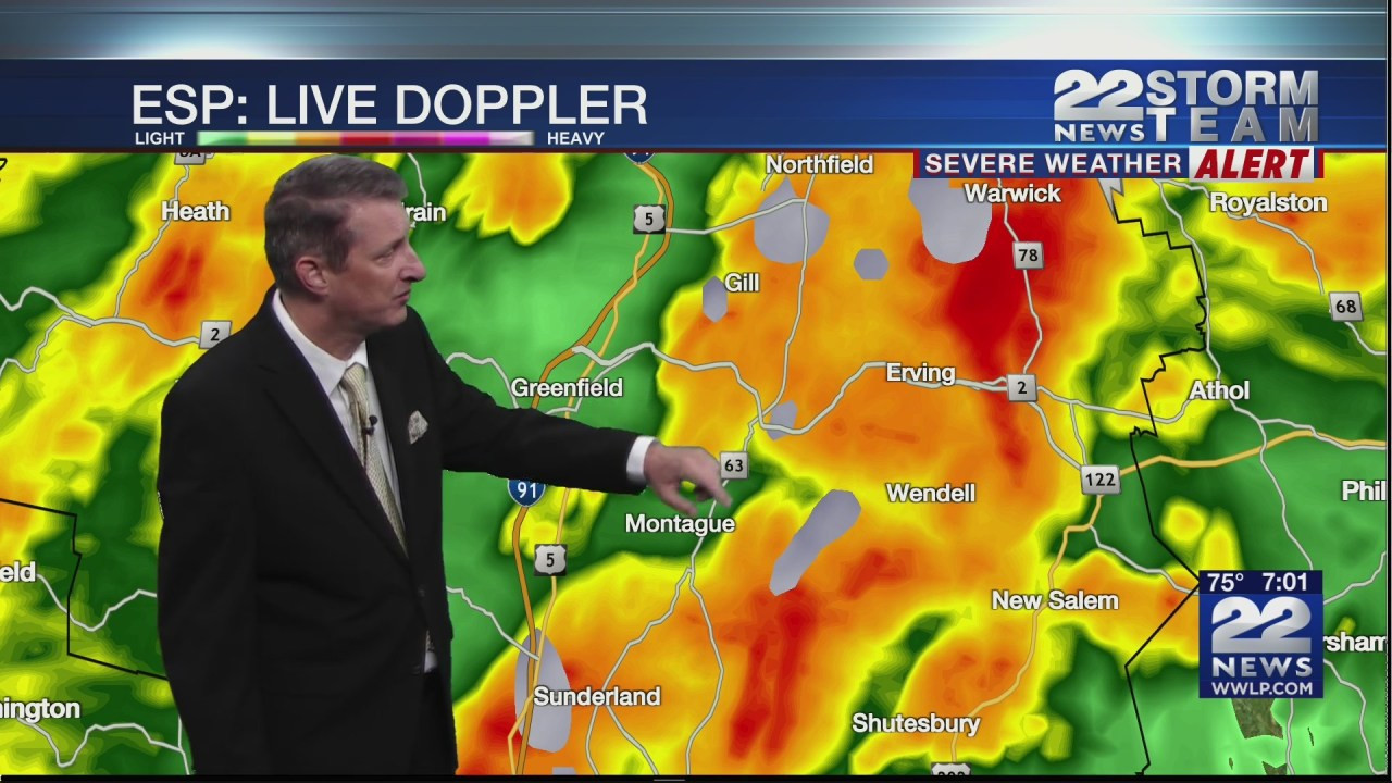
Thunderstorms will once again develop for northwestern Ontario on Thursday, with multiple rounds expected throughout the day. Large hail, and the potential for damaging wind gusts are possible in areas that see the severe storms develop. The heavy rain over the past couple of days has inundated parts of southeastern Manitoba, with backbuilding thunderstorms producing significant amounts. Localized flooding has been reported in many communities.
According to Environment and Climate Change Canada (ECCC), Elma, a community in the Whiteshell area of eastern Manitoba saw 205 millimetres in just a 36-hour period. Meanwhile, 155 mm of rain has been recorded in the city of Steinbach between Monday and Tuesday. With more rain and thunderstorms in the forecast, the ground will be unable to absorb additional downpours. Another system will track from west to east across the Prairies on Friday and into the weekend, and while it's not expected to be as strong or moisture-packed, it will still keep most of the region well watered, especially central and southern Manitoba.
Saskatchewan Braces for Heavy Rain
It’s not the news farmers wanted to hear as they hustle to get the crop in the bin. Significant rainfall is expected to strike southwest Saskatchewan thanks to a low pressure system moving up from Montana. Areas around Maple Creek, Swift Current, Kindersley, and Leader could see anywhere between 40 and 70 millimeters of the wet stuff. Thunderstorms are possible with this system which means rainfall amounts could reach as high as 100 millimeters, although the weather experts aren’t sure how severe the storms could be at this point. According to meteorologists, the rain may start Tuesday night and continue into Wednesday.
The Weather Network says overnight rain could be heavy at times and wind may be a factor, especially on Wednesday. Meteorologists predict the the system will generate strong northwest winds with gusts of up to 80km/h. The Regina area may escape the worst of the weather system, seeing 10 to 25 millimeters of rain. The system will move northeast across the province bringing rain to a wide swath of Saskatchewan. While the news is welcomed by some, many farmers are still harvesting crops and don’t want to see a delay. According to the most recent crop report, 61 per cent of the harvest is complete in the province with the southwest region seeing the most progress at 85 per cent completed.
Potential Flooding and Delays
The weather system should be out of the southwest region by Thursday afternoon. The southwest corner of Saskatchewan is set to be hit by heavy rain, with some areas expected to get as much as 100 mm, or about four inches. The low-pressure system is making its way northeast over the next couple of days, meaning areas like Melfort, Prince Albert, and North Battleford will see wet conditions.
“Rainfall amounts aren’t expected to be quite as high but there might still be anywhere from 15 to 40 mm in various locations,” Environment and Climate Change Meteorologist Stephen Berg told northeastNOW. That rainfall total could be higher or lower depending on thunderstorm activity. “Might end up getting some areas that could be anywhere from 40 to 60 mm, particularly in the Prince Albert, Spiritwood, North Battleford regions,” Berg said. The totals expressed by Berg are through early Thursday afternoon.
The rain could be a bit of a mixed blessing for local farmers, with moisture needed in many areas. However, the wet conditions will likely delay harvest for those still out in the field. “Especially in areas that might see these thunderstorms,” Berg explained. “There might be a little bit of overland flooding here and there too.” Berg said transportation could also become an issue if the rain is significant, with some grid roads becoming more difficult to navigate. Heavy showers and thunderstorms on highways could contribute to hydroplaning and visibility issues, said Berg.
More Rain on the Way
Conditions will cool down after the system makes its way through Saskatchewan. High temperatures in the mid-teens and lows in the mid to low single-digits are in the forecast into next week. Drenching rains will continue on parts of the Prairies into Friday as a sprawling low-pressure system churns over the centre of the region. Another storm risk will develop for some communities on Friday, complete with a funnel cloud risk in spots. Some of the areas hardest hit by the heavy rainfall along the Alberta-Saskatchewan border could see 50-75+ mm of rain fall through Friday morning.
The rain will be beneficial for northern sections of Saskatchewan still dealing with ongoing wildfires, but also heightens the threat for localized flooding. Be sure to stay alert to the changing conditions and any watches and warnings that are issued in your area. A low-pressure system that moseyed north of the international border on Thursday brought plenty of heavy rain and thunderstorms to the Prairies on Thursday. Severe thunderstorm watches spanned southeastern Saskatchewan through Thursday evening. The risk for thunderstorms pushes north and east on Friday as our low continues moving northward. A risk for severe thunderstorms will cover northern portions of Saskatchewan and Manitoba, including La Ronge and The Pas, where heavy rain and small hail will be the main risk. A risk for funnel clouds may develop here as the core of the low moves overhead.
A Late Summer Blast of Heat
Plentiful rainfall is accompanying this system aside from the thunderstorm risk. Rainfall rates up to 5 mm/h are possible at times, especially in southeastern Alberta. Heavier pockets of rain could also pick up Thursday overnight and into Friday morning. A general 10-20 mm of rain is expected for the city of Calgary, while Alberta communities bordering with Saskatchewan could see closer to 50-75+ mm. Lethbridge and Medicine Hat could both pick up some of those heavier totals. A large low in September is ripe for a significant temperature gradient, and we’re seeing that seasonal spread in spades to end the week. Much of Alberta will get an early taste of fall, remaining seasonably cool for most of this week. Calgary will sit about 7°C cooler than normal. Meanwhile, parts of Manitoba will certainly enjoy a late blast of summer heat as temperatures soar close to the 30-degree mark.
For more on exactly what to expect, be sure to check out our official 2024 Fall Forecast. Due to the track of the storms northward into Nunavut, temperatures will remain well-above normal for Manitoba and northwestern Ontario for the next 10 days.