Shasta County GIS: A Gateway to Essential Maps and Data
The Shasta County Geographic Information Systems (GIS) Division provides a comprehensive collection of maps and data that empowers residents, businesses, and government agencies to make informed decisions. This division acts as a central hub for accessing vital information about the region, offering insights into its geography, demographics, infrastructure, and more.
Accessing Vital Information: Your One-Stop Shop
The Shasta County GIS Division serves as a one-stop shop for accessing crucial information about the county. The division’s resources go beyond simple map visualization; they provide insights into trends, patterns, and relationships among different data sets. Whether you’re looking for detailed road information, school district boundaries, or evacuation zone statuses, the GIS Division offers the tools and resources you need.
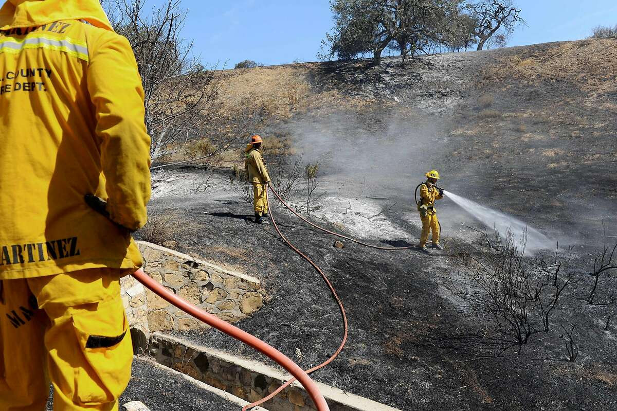
Public Safety and Emergency Preparedness
The GIS Division plays a critical role in public safety and emergency preparedness. The website provides access to real-time information from various agencies, including the Shasta County Sheriff, SHASCOM, Shasta County Fire, and other allied departments. This allows for timely dissemination of information during emergencies, promoting a coordinated response to incidents and enhancing public safety.
The Genasys Protect system, accessible through the GIS website, serves as the official source for evacuation zone statuses. This ensures residents are informed about potential threats and have access to the latest guidance during emergency situations.
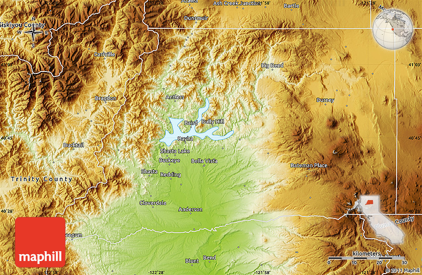
Understanding the Landscape
The GIS Division provides a wealth of information about the county’s physical landscape. Users can explore maps that reveal water features, fire zones, cemetery locations, hospital facilities, irrigation districts, and more. This information is valuable for a variety of purposes, including:
- Land Management: Understanding the distribution of water resources and fire zones is crucial for informed land management practices.
- Community Planning: GIS data on population distribution, infrastructure, and environmental resources assists in planning for future growth and development.
- Environmental Monitoring: Data on air quality, water bodies, and land use helps to monitor environmental conditions and identify potential risks.
Supporting Informed Decisions
The GIS Division empowers residents and businesses to make informed decisions by providing easy access to relevant data. Whether you need to find the location of a transfer station, identify your supervisor district, or locate a school, the website offers user-friendly tools for finding what you need.
Beyond basic information, the GIS Division also provides tools for:
- Coordinate Conversion: Convert coordinates between various formats, including Decimal Degrees, Degrees Minutes and Seconds, UTM, and more.
- Topographic Mapping: Access USGS 7.5 Minute Quadrangle Topographic Maps to view detailed elevation and landform data.
- Road Conditions: Explore maps that show road closures, incidents, chain controls, and rest stop status.
- Air Quality Monitoring: View current air quality information for Shasta County.
Community Collaboration and Resources
The GIS Division recognizes the importance of community engagement and collaborates with various organizations to enhance its services. One notable example is the partnership with the National Association of State Geographic Information Officers (NAPSG) and the CEDR Digital Corps and GISCorps. This collaboration fosters crowdsourced data collection and analysis, providing a platform for early detection of wildfires and improved public awareness.
Engaging with the GIS Division
The Shasta County GIS Division welcomes inquiries and feedback. For questions or assistance, you can contact the team via email at [email protected] or call (530) 225-5276 during business hours (Monday - Friday, 8 a.m. to 5 p.m.).
Reaching Out to the GIS Team
The GIS Division is committed to serving the community and ensuring access to valuable information. You can reach out to the team at their office located at:
- Address: Shasta County Information Technology, 1450 Court Street, Suite #124, Redding, CA 96001-1656.
- Phone: (530) 225-5276.
- Email: [email protected].
The GIS Division welcomes your feedback and suggestions for improving its services. They are dedicated to providing the community with the information and tools necessary to navigate the county's resources, plan for the future, and respond effectively to emergencies.