Storm Éowyn: Ireland and UK Brace for Impact
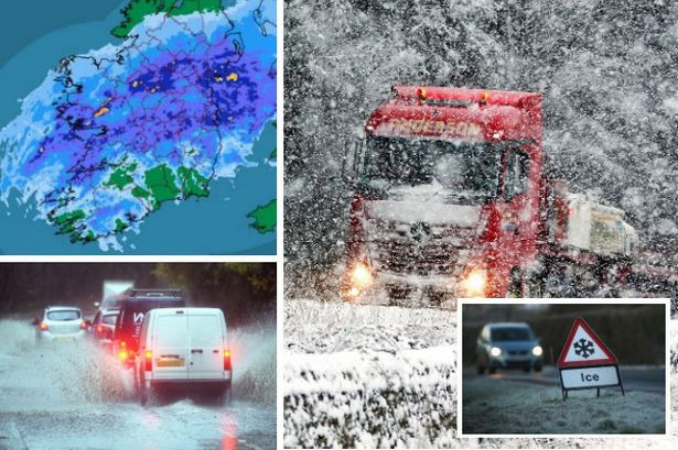
Met Éireann has issued an advisory warning of a significant weather event as Storm Éowyn prepares to track across Ireland later this week. The storm, expected to hit on Thursday night and Friday, is predicted to bring a cocktail of extreme weather conditions, including very strong to gale-force winds, heavy rain, and even transitory falls of sleet and snow, particularly in western and northwestern counties. This would mark the fifth named storm of the season, following Ashley, Bert, Conall, and Darragh. The potential for damaging wind gusts and widespread disruption is high, prompting authorities to urge caution and preparedness.
Impact of Storm Éowyn on Ireland
The severity of Storm Éowyn's impact is causing concern across the country. Met Éireann's advisory highlights the potential for damaging wind gusts and significant disruption, impacting various aspects of daily life. The forecaster's statement on their website emphasizes the expected very strong to gale force winds across the country, along with the potential for high seas and spells of heavy rain. The possibility of sleet and snow, especially in west and northwest counties, adds another layer of complexity to the situation. The situation is being continually monitored, with weather warnings expected to be issued as forecast confidence increases.
Preceding Weather Conditions
A status yellow fog warning was in effect from 10 pm Tuesday until 10 am Wednesday for several counties in Ireland. This warning highlighted the foggy conditions, leading to impaired visibility and potential travel disruptions. While rain is expected to clear later on Tuesday with some sunny spells, the arrival of Storm Éowyn promises a sharp shift toward significantly more unsettled conditions.
Storm Éowyn's Projected Path and Intensity
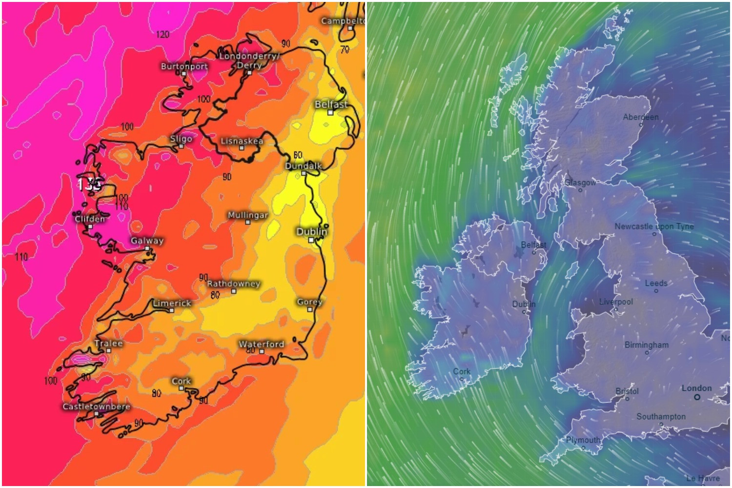
The storm's projected path and intensity are being closely tracked by both Met Éireann and the UK Met Office. While the exact path remains slightly uncertain, the expectation is for a deepening low-pressure system that could bring the strongest winds Ireland and the UK has experienced so far this winter. A range of alerts are anticipated, and the potential for an Orange Warning, or even a rare Red Warning in the worst-affected areas, exists. Currently, the projected path has the center of the storm moving north of Ireland's southwest coast, but this remains subject to change. Areas such as Kerry, Cork, and Munster are anticipated to bear the brunt of the storm, irrespective of its precise path. The Met Office warns that gusts of up to 90mph could batter Scotland during the height of the storm on Friday and Saturday.
UK Impact
The UK Met Office has also issued yellow weather warnings for high winds in both the north and south of Scotland for Friday and Saturday. Forecasters predict wind speeds could reach between 80-90mph in coastal and hilly areas, with even higher gusts possible in exposed western parts of Scotland. The warnings highlight the potential for danger to life due to flying debris, large waves, and beach material being thrown onto seafronts and coastal properties. Significant disruption to road, rail, air, and ferry services is expected, along with potential road and bridge closures. Additional areas of low pressure could bring more wet and windy weather by Sunday, with the potential for further warnings over the weekend and into next week.
Preparations and Precautions
Given the potential severity of Storm Éowyn, authorities are urging individuals and communities to prepare accordingly. Monitoring weather updates from Met Éireann and the UK Met Office is crucial. Securing loose objects around properties, preparing for potential power outages (gathering torches, batteries, etc.), and checking on vulnerable neighbours are essential precautions. Individuals living in coastal areas should be particularly vigilant due to the potential for high seas and large waves. Those traveling should check road conditions and transportation timetables before setting off and anticipate delays or cancellations. The storm's potential for damage to buildings and disruption to travel and power has led to increased public awareness and concern.
The Naming of Storms: A Public Safety Initiative
The naming of storms, a practice adopted since 2015 by Met Éireann and the UK Met Office (with the Netherlands’ KNMI joining in 2019), serves a vital purpose. It significantly enhances public safety and preparedness. According to Eoin Sherlock, head of the forecasting division at Met Éireann, naming storms makes people more likely to remember and respond to warnings, helping to protect life and property from extreme weather. Éowyn, a name with Old English origins but popularized by J.R.R. Tolkien, is the fifth storm to receive a name this season. This naming system highlights the serious implications of these weather events and encourages individuals and communities to take appropriate actions to mitigate risks. The use of names makes warnings more memorable, making the public more attentive and reducing the risk of property damage and loss of life.
A Stormy Outlook: What's Next?
As Storm Éowyn approaches, the focus remains on closely monitoring its path, intensity, and potential impact. The timely issuance of official warnings from Met Éireann and the UK Met Office is paramount, guiding both individual and community-level preparations. The coming days will undoubtedly bring further updates and refinements to the forecast as the situation continues to evolve. This powerful storm serves as a powerful reminder of the potential for severe weather and the importance of preparedness. With the forecast predicting the most severe winter storms yet, individuals must stay vigilant and keep updated on any changes in the situation. Staying informed and taking necessary precautions remains vital in mitigating the potential risks this severe weather event poses.


