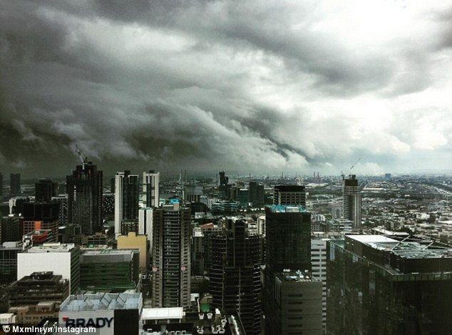
Thunderstorms are set to target heavily populated areas on the NSW coastline on Monday, and could cause havoc with flash flooding, damaging winds and large hailstones all possible during the afternoon and evening. It’s shaping up to be a stormy week ahead across the eastern states kicking off on Monday with a broad threat of thunder from northern Queensland, through NSW, Victoria and into South Australia. A high-pressure system in the Tasman Sea and a trough spanning across the eastern inland are set to combine forces, drawing warm humid air from the tropics southwards. Meanwhile, a frontal system crossing the south-east will help to create the perfect environment for showers and thunderstorms to develop across much of New South Wales. While thunderstorms are a normal occurrence at this time of year, Monday’s storms are set to target densely populated areas, and could cause havoc with flash flooding, damaging winds and large hailstones all possible during the afternoon and evening. Severe storms are most likely in the afternoon in the NSW Central West and Central Ranges – in places including Dubbo, Orange, the Blue Mountains, Sydney’s west and Wollongong. Daily showers and storms are then expected to target multiple regions this week – meaning many will have to keep the umbrella close.
Sydney Hit By Flash Floods And Hailstorms
Severe storms have hit some of the most populous areas in the country, with many being warned of flash flooding. Storms are smashing Sydney and major surrounding regions, with heavy rains lashing the city. The Bureau of Meteorology issued a severe thunderstorm alert just after 3pm local time Monday. Severe thunderstorms are bringing heavy rainfall which may lead to flash flooding in the next several hours in Gosford, Sydney, Penrith, Parramatta, Campbelltown and Taralga. About 3.40pm the weather bureau provided an update, saying severe thunderstorms in the warning area had temporarily eased. “However, the redevelopment of severe thunderstorms remains possible. The situation is being closely monitored and further detailed warnings will be issued as necessary,” the warning says. As at 3.30pm the bureau’s rain gauge at Canterbury had received more than 23mm of rain since 9am. A large area between Tamworth and Muswellbrook have all recorded more than 10mm of rain since 9am as well.
Severe Storms Disrupt Flights and Public Transport
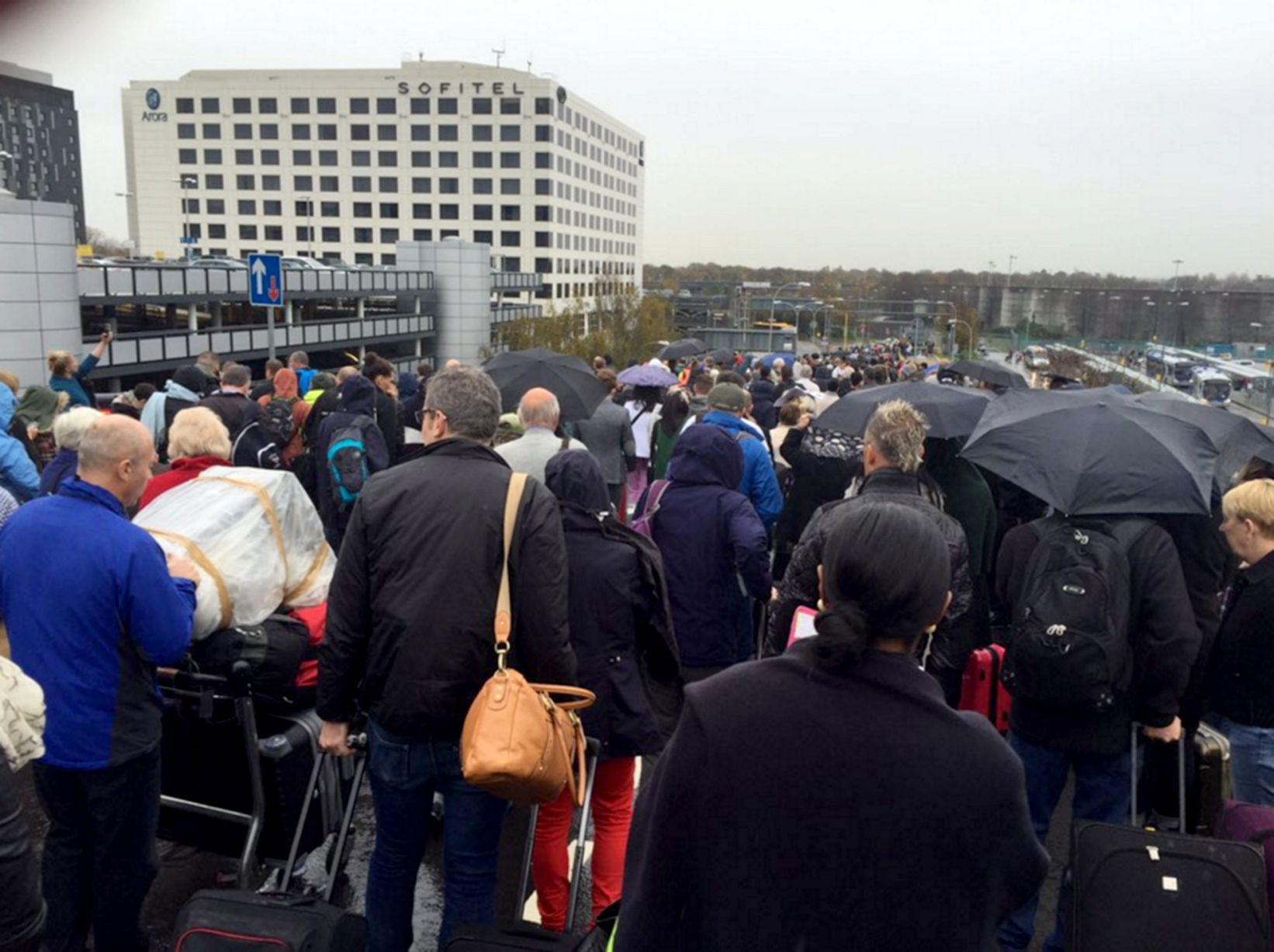
A severe thunderstorm warning has been issued for heavy rainfall in Sydney and parts of the NSW east coast, disrupting flights and public transport. Heavy rainfall and thunderstorms slammed into Sydney on Monday afternoon, with the Bureau of Meteorology (BOM) warning the storm was likely to produce heavy rainfall that could lead to flash flooding. The warning covered Sydney City, Sydney Olympic Park, the Sydney Harbour Bridge and waters off Bondi Beach. “This thunderstorm is moving towards the northeast,” BOM warned. “It is forecast to affect Manly, St Leonards and waters off Manly Beach by 3:40pm and Chatswood, Dee Why and waters off Dee Why Beach by 4:10 pm.” NSW SES has confirmed 49 jobs since the storm outbreak Monday afternoon, four of which for flash flooding rescues, including a rescue taking place in Eastgardens for a car stuck in floodwaters just after 4pm. An SES spokesperson said most of the call-outs have been for fallen trees and damaged or leaking roofs, mainly around the City, Inner West and Macarthur. “The flood rescues have been described as minor, and flash flooding should recede fairly quickly,” the spokesperson said. Sydney Airport confirmed there had been flight delays due to the storm outbreak. “Due to storm activity, there have been some flight delays,“ a Sydney Airport spokesperson said. “We encourage passengers to check with their airline regarding the status of their flight.” Light Rail services have also been affected, with the L2 Randwick Line and L3 Kingsford Line light rail services not running between Moore Park, Randwick and Juniors Kingsford due to flooding affecting track equipment at Kensington. “Replacement buses have been requested but are not yet running,” Transport Management Centre said. “Passengers are advised to delay travel or consider catching regular bus services instead.” L2 and L3 light rail services are still running between Circular Quay and Moore Park. Passengers are advised to check information displays at stops for service updates.
Safety Advice During Severe Weather
The State Emergency Service advises that people should keep clear of creeks and storm drains, not to walk, ride your bike or drive through flood water and if you are trapped by flash flooding, seek refuge in the highest available place and ring 000 if you need rescue.
A Stormy Week Ahead
Severe thunderstorms and heavy rainfall are also expected to impact parts of the east coast, including parts of the Hunter, Illawarra, Central Tablelands, Southern Tablelands and South West Slopes Forecast Districts over the next several hours. It comes after the Bureau of Meteorology forecasted an unsettled week ahead for broad areas of NSW on Monday. The central and eastern parts of the state will be likely hit with showers with severe thunderstorms possible, it said. Meanwhile, Sydney and Canberra will hit maximum temperatures of 25C and 23C respectively on Monday, while Newcastle is set to reach a high of 24C. Tamworth and Albury will both see highs of 22C with Coffs Harbour and Wollongong reaching 24C and 23C respectively. For the latest weather and climate news across the country and the world, tune in to Sky News Weather channel 601 on Foxtel or watch on Flash.
Prepare for the Storms
Stronger cyclones, increased storm surges, and an early fire season are all headed for Australia in the coming months, with Aussies warned to get ready now. A NSW woman who gave birth to a baby as a deadly Florida hurricane raged around her has pleaded with the government for help. It looks like summer has hit early, with one big city set to swelter through 32C temperatures.


