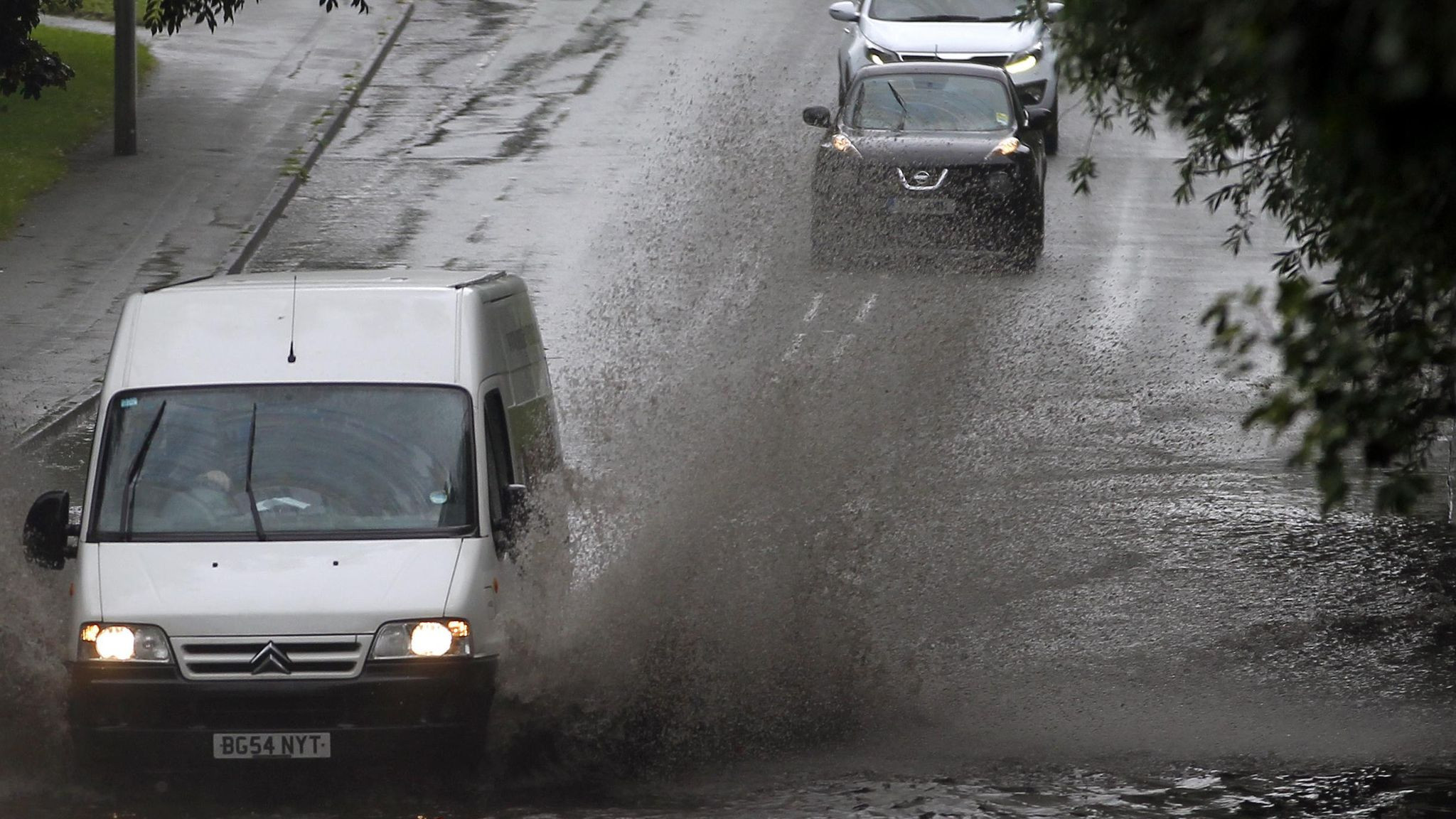
Up to 75mm of rain could bucket it down in less than an hour this Sunday as massive thunderstorms are forecast for almost two-thirds of England.
The Met Office has issued a yellow thunderstorm warning which covers London, the South East, North East, North West, South West and the Midlands.
The yellow alert, active from 4am to 9pm tomorrow, also covers eastern Wales.
Forecasters say there is a ‘slight chance’ of flooding, lightning strikes and power outages.
The thunderstorms will start to rumble in the south first before ‘steadily’ moving northwards through the afternoon and evening, weather officials say.
‘The extent of these thunderstorms is very uncertain, and many places will miss them, but where they do occur, 30 to 40mm of rain may fall in less than an hour with perhaps over 75mm in one or two places, leading to a chance of flooding and disruption,’ the warning says.
‘Frequent lightning strikes and hail will be additional hazards, most likely across southern and central England.’
Heavy rain and thunderstorms across UK: A yellow weather warning is in effect for most of England and Wales
A yellow weather warning means disruption to daily life is ‘likely’.
The yellow weather warning comes on top of another two issued by public health officials.
Yellow heat health alerts for the East and South East of England are in effect until 9am Monday as the UK sees temperatures nearly reach 30°C this weekend.
The UK Health Security Agency (UKHSA) says ‘minor impacts’ are probable across the health and social care sector, especially for more vulnerable people.
Both warnings say there may be an ‘increase in risk of mortality amongst vulnerable individuals and increased potential for indoor environments to become very wars’.
A wave of thunderstorms are expected to move across the UK on Sunday
The Met Office has issued a yellow weather warning for much of England and parts of eastern Wales as forecasters warn of thunderstorms and heavy rain on Sunday. The warning, in place from 4am to 9pm, covers a large area from the Isle of Wight in the south to Newcastle upon Tyne in the north.
The warning advises people to “be aware” of the potential for disruption as heavy showers could lead to flooding and damage to buildings, along with potential travel disruption.
The Met Office says that the thunderstorms are likely to develop in the south of England on Sunday morning, before moving northwards throughout the day.
The Met Office: A plume of showers will move erratically through Sunday
“We're expecting a plume of showers moving erratically northwards through the course of Sunday,” a Met Office spokesperson said.
“Some could be heavy and thundery, but not everywhere is going to see these showers. Where they do occur there is the potential of heavy rain for a period.”
The Met Office has forecast that some areas may experience rain while other parts of the UK may experience sunny and muggy weather.
The forecaster has also warned that lightning strikes and hail are likely, with 30mm to 40mm of rainfall expected to fall in some areas.
Stay safe: How to protect yourself and your property from thunderstorms
The Met Office has recommended people to check if their property is at risk of flooding.
To prepare for a flood, they have advised:
-
Stay up to date with the latest forecast.
-
Check for weather warnings.
-
Be prepared to move valuable items upstairs or to a higher level.
-
Have a plan for where you will go if you need to evacuate your home.
-
Make sure you know how to turn off your electricity and gas.
The Met Office's deputy chief meteorologist, Dan Harris, said: 'The forecast later this weekend and into the early part of next week comes with larger uncertainties than average, due to the complex interaction of a number of volatile, small scale weather features over and around the UK.
'We are keeping warnings under review, and will look to issue them over this weekend as forecast confidence increases, so please keep up to date with our latest forecasts and warnings.
'Finally, it's worth also noting that conditions could briefly turn very warm, or even hot, across parts of the south and east, with a chance of temperatures into the high 20s of Celsius for some, but very much dependent on cloud breaks.'


