Bomb Cyclone to Slam BC Coast: Hurricane-Force Winds and Widespread Disruptions Expected
A powerful bomb cyclone is set to unleash its fury on British Columbia's coast, bringing with it hurricane-force winds, torrential rain, and the potential for widespread power outages and travel disruptions. Environment Canada has issued a special weather statement, warning residents to brace for a significant storm event that is expected to start Tuesday evening and last well into Wednesday.
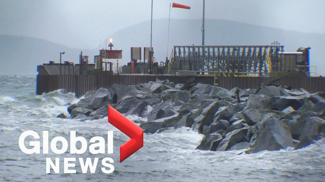
The storm, classified as a bomb cyclone due to a rapid drop in atmospheric pressure at its center, is expected to develop approximately 400 kilometers west of Tofino, B.C. Meteorologists predict gusts of up to 100 km/h on the west coast of Vancouver Island and up to 90 km/h in the Victoria area. While the storm's center will remain offshore, its powerful winds will still significantly impact the coast and mainland. Ross Macdonald, a meteorologist with Environment Canada, described it as "a rather strong low-pressure system" but also noted that the impact might be "a typical November windstorm" for the South Coast and Vancouver Island, not entirely dissimilar to the windstorm experienced the previous week.
Coastal Impacts: High Winds, Power Outages, and Travel Delays
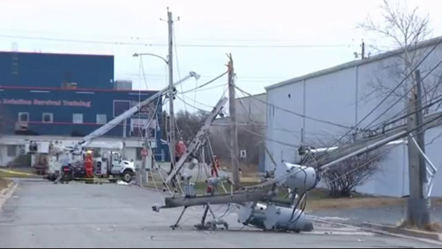
The intense winds are the primary concern, with the potential to knock down trees, leading to widespread power outages and significant travel delays. Environment Canada’s special weather statement advises residents to secure loose outdoor objects. BC Ferries is closely monitoring the situation and is in contact with Environment Canada, but sailings are currently expected to proceed as scheduled, emphasizing that safety is their top priority. However, given the intensity of the forecast, significant disruptions to ferry services are likely.
The Weather Network, in its coverage, highlights that the bomb cyclone, also known as bombogenesis, occurs due to a rapid drop in atmospheric pressure at the storm's center. If this pressure drops by roughly 24 millibars in 24 hours, the storm is classified as a bomb cyclone. Matt MacDonald, the lead forecaster for the BC Wildfire Service, suggests coastal inlets might experience hurricane-force winds exceeding 118 km/h, with waves up to nine meters off Washington and Oregon's coasts. While the impacts are expected to be less severe than those directly in the eye of the storm, they are still expected to have a substantial impact. This forecast is consistent with the warnings issued by Environment Canada, emphasizing the potential for hazardous conditions.
Potential for Significant Damage
The predicted high winds pose a considerable threat to infrastructure and property. Downed trees and power lines are highly likely, potentially causing widespread power outages. This is a major concern, as a large proportion of the population relies on electricity for essential services. Moreover, travel could be significantly disrupted. Ferry services are anticipated to experience cancellations, and driving may become hazardous due to poor visibility and road closures. People planning to travel during this time should prepare for significant delays or even cancel their plans altogether.
Inland Impacts: Heavy Rain and Potential Flooding
While the coastal areas will bear the brunt of the high winds, inland regions can also expect significant rainfall. The combination of heavy rain and saturated ground conditions could lead to localized flooding in low-lying areas. This is particularly concerning given the series of powerful storms that have already hit B.C. this fall, including an atmospheric river that caused flash flooding in Metro Vancouver in mid-October. The Insurance Bureau of Canada reported that last month's storms resulted in $110 million in insured damage claims, highlighting the significant economic impact of these weather events. This is only worsened by the already high level of insured losses related to severe weather in Canada, which now routinely exceed $3 billion annually, reaching more than $7.7 billion this year.
Preparing for the Storm: Safety Advice and Precautions
Residents are urged to take necessary precautions to prepare for the storm. This includes securing loose outdoor objects, charging electronic devices, and having a plan in case of a power outage. Individuals should also monitor weather reports closely and heed all warnings issued by authorities. Stay informed about potential road closures and travel advisories. Additionally, those who live in areas prone to flooding should take steps to protect their property. With the forecast expecting widespread disruptions, preparing ahead of time is crucial to minimizing risks and ensuring safety.
Beyond the Immediate Storm: A Look Ahead
This bomb cyclone is not an isolated event. The province is expected to face further stormy weather in the coming days and weeks, emphasizing the need for ongoing vigilance. A La Niña winter is predicted for B.C., which often leads to amplified bomb cyclone formation. While this event's magnitude might not be repeated, the coming weeks and months promise similar storms, albeit potentially less intense. Experts advise that remaining informed, prepared and resilient are critical aspects to navigating this period.
The swells generated by this storm will propagate thousands of kilometers, reaching as far as Hawaii and the western beaches of Mexico’s Baja Peninsula. This is truly a powerful system that is having a far-reaching impact, underlining the need for community-wide preparedness.


