Bomb Cyclone Warning: Hurricane-Force Winds to Slam B.C. Coast This Week!
The Pacific Northwest is bracing for a significant weather event. A bomb cyclone, a rapidly intensifying storm system, is forecast to bring hurricane-force winds and heavy rain to the British Columbia coast, starting Tuesday evening and lasting into Wednesday. This potent storm, developing far offshore, is expected to cause widespread disruption, potentially impacting transportation, power grids, and coastal communities. Meteorologists are warning residents to prepare for the worst.
Understanding Bombogenesis
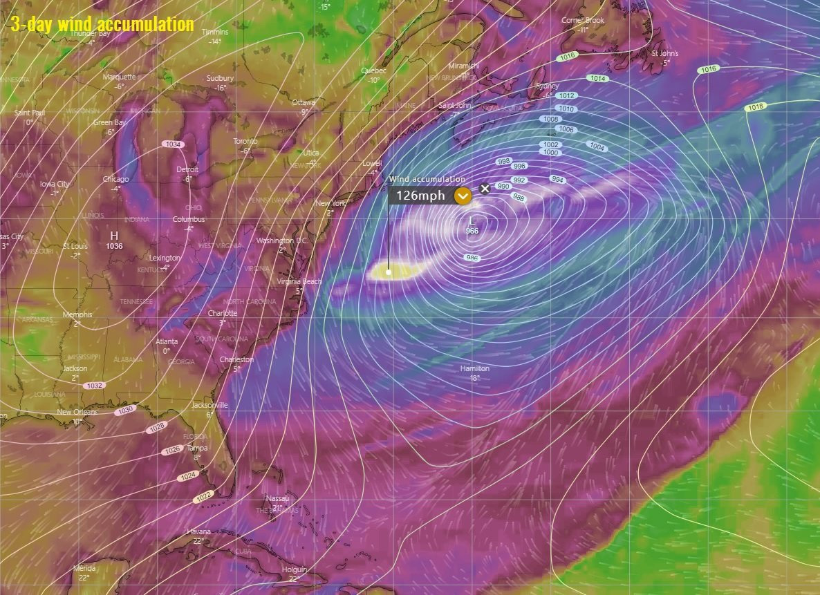
The term "bomb cyclone" is a colloquialism derived from the meteorological term "bombogenesis." It describes a storm system experiencing explosive intensification, characterized by a pressure drop of at least 24 millibars within 24 hours. In this instance, some models suggest a potential drop of 50 millibars or more, indicating an exceptionally powerful storm. This rapid pressure decrease creates a significant pressure gradient, leading to exceptionally strong winds. Think of it as a powerful vacuum drawing air into its center. The larger the pressure difference, the stronger the winds become.
Wind Speeds and Impacts
Forecasters predict gusts exceeding 120 km/h (70 mph) in some coastal areas. While this doesn't automatically equate to a hurricane (which requires sustained winds of at least 74 mph), the intensity and duration of these gusts could produce hurricane-force conditions, leading to significant damage. Areas like northern Vancouver Island, the north and central coasts are expected to bear the brunt of these powerful winds. Even populated centers such as Victoria and the Sunshine Coast could experience gusts up to 100 km/h. Environment Canada has issued numerous warnings for coastal regions, urging residents to prepare for extensive power outages, downed trees, and severe travel disruptions. Coastal inlets could see hurricane-force winds and waves of up to nine meters in height.
Storm Track and Timing
The storm's center is expected to remain offshore in the Pacific Ocean, initially tracking near the Washington coast before gradually weakening on Wednesday and moving westward. However, the proximity of the storm will generate intense, damaging winds along the BC coast, even in regions not directly under the storm's eye. The forecast tracks the storm developing approximately 400 kilometers off the Vancouver Island coast before approaching the mainland. The peak wind speeds are anticipated to arrive Tuesday night and Wednesday morning.
Regional Variations
While the coast will experience the strongest effects, inland areas of eastern Snohomish, King, and Pierce counties in Washington state could also experience incredibly damaging winds, if the forecast holds. The precise intensity and timing of these winds could slightly vary depending on the storm's exact speed and track, but the potential for significant disruption remains high across the region. Even Metro Vancouver and the Fraser Valley are under a special weather statement, cautioning of potential problems.
Preparing for the Storm
Given the predicted intensity of the storm, preparedness is crucial. Residents are urged to secure loose outdoor items, charge electronic devices, and have emergency supplies on hand. Monitor weather alerts from Environment Canada or other local authorities closely. BC Hydro, the provincial electric utility, is already taking precautions by prepping crews and equipment to address potential power outages. This proactive approach reflects the potential for widespread disruption due to the high wind speeds.
Transportation and Travel Disruptions
BC Ferries is closely monitoring the weather situation and communicating with Environment Canada, preparing for potential cancellations or delays. They've stated their priority is keeping people informed and rescheduling travel or rerouting passengers as needed. Land travel will likely also be affected due to the risk of downed trees and treacherous driving conditions. Drivers should exercise extreme caution and if possible, avoid unnecessary travel during the peak of the storm.
The Aftermath and Long-Term Outlook
The bomb cyclone is expected to be a significant weather event, causing substantial disruption across British Columbia. In the wake of the storm, there will likely be extensive cleanup and restoration efforts needed, including repairing power lines, removing debris, and clearing roadways. A La Niña winter is expected for B.C., and such conditions can amplify the creation of bomb cyclones. While the magnitude of this particular event may be unprecedented for this time of year, the possibility of similar, although potentially less severe, storms in the coming weeks should prompt continued vigilance and preparedness from residents and authorities. The October storm, which caused $110 million in insured damage claims, serves as a recent reminder of the significant economic impact these events can have. The insured losses related to severe weather in Canada routinely exceed $3 billion annually, with a record of over $7.7 billion set this year. The sheer scale of such damages highlights the importance of thorough preparations for such events.
The insurance implications of this storm alone will certainly be considerable and should be a focus for policy discussions going forward. The long-term effects of the storm will take time to assess fully, as it will impact numerous lives and livelihoods. The economic consequences alone will be significant. Let's hope for the safety of everyone during and after this extremely intense weather event.


