A state of emergency has been declared in Florida where evacuations are underway as Tropical Storm Helene strengthens. Residents in the storm's potential path have been told to prepare for up to a week without electricity.
"Now is the time to make an emergency plan," Gov. Ron DeSantis said at a press conference on Tuesday.
The storm, which is still taking shape, could become the strongest hurricane to hit the United States this season. The Weather Channel reports Helene is likely to be a hurricane in the Gulf of Mexico by Wednesday.
"While it is too soon to pinpoint the exact location and magnitude of impacts, The potential for life-threatening storm surge and damaging hurricane-force winds along the coast of the Florida Panhandle and the Florida west coast is increasing," the National Hurricane Center said Monday.
Florida Gov. Ron DeSantis expanded a state of emergency on Tuesday to 61 counties ahead of the storm. Helene is expected to make landfall near the Big Bend region of the Florida panhandle but could shift course over the coming days.
In addition to high winds, the storm will threaten millions of residents along the Gulf Coast with up to 12 inches of rainfall, as well as the possibility of tornadoes.
"In the past, major hurricanes, containing maximum sustained wind speeds of at least 111 mph, have developed in similar setups," said AccuWeather meteorologist Alex Duffus.
According to the National Hurricane Center's latest advisory, the storm is about 205 miles southeast of the western tip of Cuba with maximum sustained winds of 35 mph, while moving northwest at 9 mph.
The system is expected to become a tropical depression or storm on Tuesday.
9/24 5AM EDT: The potential for life-threatening storm surge from #PTC9 is increasing along the coast of the Florida Panhandle and the Florida west gulf coast. Residents should ensure they have their hurricane plan in place, and also follow advice given by local officials. pic.twitter.com/PMprqEsNEg
— NHC Storm Surge (@NHC_Surge) September 24, 2024
"The Tampa Bay region is extremely vulnerable to storm surge. If this storm tracks any farther west, we could end up dealing with a serious storm surge and flooding problems in Tampa," AccuWeather lead hurricane expert Alex DaSilva predicted.
But meteorologists warned residents from Louisiana to Key West, Fla., to prepare for the storm.
The National Hurricane Center issued hurricane watches and tropical storm warnings on Monday for parts of Mexico and Cuba as the storm intensifies over the record-warm Gulf of Mexico.
The storm is expected to weaken by Friday as it moves inland across the Southeast. However, heavy rainfall and wind gusts will linger along its path.
Florida, which was pummeled by Hurricane Debby earlier this season, is bracing for another storm this week. In Leon County, home to Tallahassee, 15 sandbags will be available for each household to take home to prepare against heavy rain and flooding.
🌀Leon County continues to monitor the tropical weather system in the Caribbean closely and coordinates with the National Weather Service. In anticipation of potential heavy rainfall, Leon County will open five sandbag locations for residents. Follow @NWSTallahassee & @LeonCounty pic.twitter.com/v8PJDVtRWW
— David O’Keefe, County Commissioner (@commishokeefe) September 22, 2024
The declaration allows the state to execute its Comprehensive Emergency Management plan, allowing the use of resources for any logistical, rescue or evacuation operations.
“Now is the time to make an emergency plan, know your evacuation zone, and be as prepared as possible for the storm,” DeSantis said in a post on X.
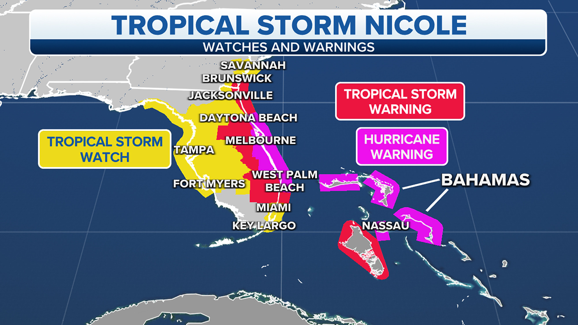
As of 8 a.m. ET on Tuesday, a hurricane watch was in effect for:
Cabo Catoche, Quintana Roo, Mexico, to Tulum, Mexico
Pinar del Río Province, Cuba
Englewood to Indian Pass
Tampa Bay
A tropical storm warning was in effect for:
Grand Cayman
Rio Lagartos to Tulum, Mexico
Cuban provinces of Artemisa, Pinar del Rio, and the Isle of Youth
A tropical storm watch was in effect for:
Dry Tortugas
Lower Florida Keys west of the Seven Mile Bridge
Flamingo to the south of Englewood
West of Indian Pass to Walton Bay County line Follow:
Time is running out for Floridians in the path of Helene, which threatens to hit as the strongest storm to make landfall in the United States in over a year.
Tropical Storm Helene formed in the northwestern Caribbean Sea Tuesday morning and will set off on a breakneck pace of strengthening. It could take Helene just 48 hours to go from a 45 mph tropical storm to a Category 3 major hurricane as it rapidly intensifies over the extremely warm waters of the Gulf of Mexico.
TRACK THE STORM: See the latest spaghetti models and maps here
This accelerated timeline means now is the time for Floridians to prepare for damaging winds, flooding rainfall and potentially life-threatening storm surge. There could also be shifts in Helene’s track in the coming days, the National Hurricane Center warned, and that could alter where its worst impacts occur.
The Southeast should prepare, too. Helene will also be exceptionally large and powerful and impact an area far beyond Florida. Torrential rain, strong winds capable of causing significant power outages and the threat of tornadoes will stretch into the region.
Evacuations are likely Tuesday for coastal areas of Florida facing down potentially life-threatening storm surge. Taylor County in Florida’s Big Bend region is likely to issue a county-wide evacuation order later Tuesday, according to a social media post from the sheriff’s office.
The Big Bend area is where Helene is currently projected to come ashore, and it faces the most serious storm surge: up to 15 feet of it is possible. The storm’s large size and intensity could also drive up to 8 feet of surge in the greater Tampa area and multiple feet of surge in areas farther south.
With little time to prepare, Tampa General Hospital began erecting a 10-foot-high flood barrier around the facility Monday because of the storm surge risk.
Florida Gov. Ron DeSantis has expanded an emergency declaration from 41 for 61 of the state’s 67 counties Tuesday over the threat of more inland impacts. The declaration helps expedite preparations and coordination between the state and local governments ahead of the storm’s arrival.
At least 3,000 members of the Florida National Guard are ready to assist with storm efforts and the Florida State Guard has been activated, DeSantis confirmed at a press conference Tuesday. Additionally, the state has “hundreds of Starlinks” to deploy in case internet access is lost, according to DeSantis.
Tropical storm-force wind gusts could begin as early as Wednesday afternoon for the Florida Keys and spread northward, reaching much of the Peninsula by Thursday morning at the earliest. Hurricane-force wind gusts could follow closely behind for many coastal areas.
The worst wind and rain in the Tampa area could start late Wednesday night. It won’t let up through Thursday evening, with hurricane-force winds possible, according to the National Weather Service in Tampa Bay.
The Tallahassee area will have a few more hours to prepare. Landfall is expected southeast of Tallahassee late Thursday, but the worst conditions will arrive in the city earlier and last throughout the day.
Related article Here’s what the hurricane categories mean
Tropical storm-force winds will spread over more of the Southeast by Thursday evening and, along with soaking rainfall, could bring down trees and trigger widespread power outages.
Heavy rainfall is possible for much of the Southeast starting around midweek, but the most torrential rain will fall Thursday into Friday morning. A level 3 of 4 risk of flooding rain is in place for parts of Florida, Georgia, Alabama and parts of the Carolinas Thursday, according to the Weather Prediction Center.
Widespread rainfall totals of 4 to 8 inches are expected from Florida’s Gulf Coast into parts of Tennessee, the Carolinas and Virginia. Totals could approach a foot in parts of the Florida Panhandle and the southern Appalachians. Much of this rain will fall by Friday for the Gulf Coast, but it’ll be a wet weekend farther north.
Florida’s Big Bend region seems to be a magnet for hurricanes recently. Hurricane Debby slammed into the region in early August as a Category 1 and recovery efforts are still ongoing as the region braces for another blow.
The last hurricane to make landfall in the US as a Category 3 – Idalia – also came ashore there and generated a record-breaking storm surge from Tampa to the Big Bend in August last year.
Idalia went through a period of rapid intensification over the warm waters of the Gulf of Mexico – with its sustained winds increasing 55 mph over the course of 24 hours.
Helene would be the fourth hurricane to make landfall in the US this year and the fifth hurricane to slam Florida since 2022.
The repeated blows have pushed Florida’s insurance market to the brink, with insurers pulling out of the state because of the increasing risk of extreme weather due to climate change.
CNN’s Rebekah Riess contributed to this report.
© 2024 Cable News Network. A Warner Bros. Discovery Company. All Rights Reserved. CNN Sans ™ & © 2016 Cable News Network.


