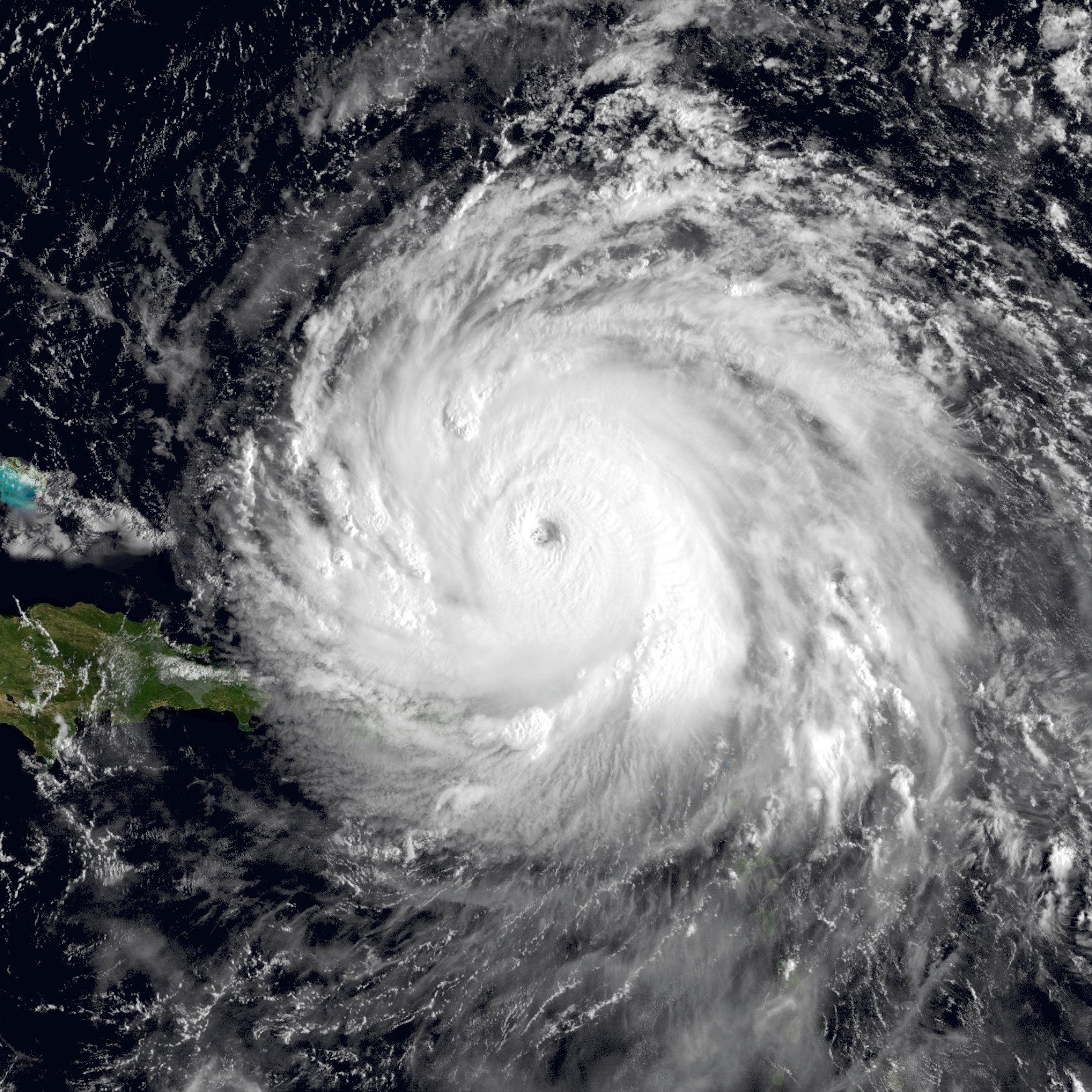
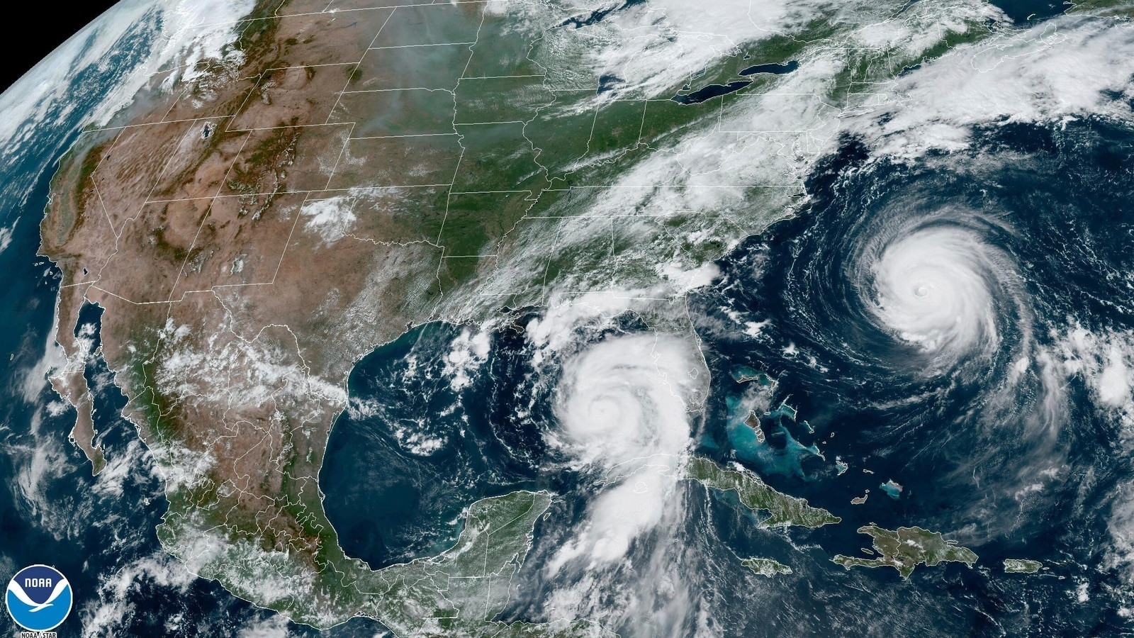
Hurricane Helene intensified into a monster Category 4 storm on Thursday evening as it neared landfall on Florida's Big Bend region. The National Hurricane Center warned that the storm surge, which could reach 20 feet in some places, would prove "catastrophic" for Florida's Big Bend coast. That surge will be "potentially unsurvivable" in places like Apalachicola Bay, according to local officials. Helene's impact was felt far ahead of its projected landfall, as power had been knocked out to 500,000 customers in Florida and flooding reported up and down the coast Thursday evening. That's because of its uncommon size, with the National Oceanic and Atmospheric Administration noting Helene's "wind field extends as far as 275 miles from its center." The effects of Helene will be felt as far inland as the Appalachian Mountains.
Helene's Impacts Reach Far Beyond Florida
The National Weather Service has issued a tornado watch for a large area encompassing parts of all three states due to extreme weather caused by Hurricane Helene. Watches are used to advise residents that conditions could lead to tornadoes in the area. Several counties, mostly in Georgia, have also been placed under the higher-urgency tornado warning, which indicates that a tornado has been spotted or may be imminent. The NWS is warning of “catastrophic” and “life-threatening” flash floods and landslides in portions of the southern Appalachians into Friday. More than 12 million people live within areas at high risk of excessive rainfall from Hurricane Helene, according to the National Weather Service. Heavy rain is expected throughout the Gulf Coast but the highest rain totals, up to 20 inches in some areas, are forecast to hit parts of the Florida Panhandle, central Georgia and the western edges of North and South Carolina. While there is little evidence to suggest that rising global temperatures are causing more hurricanes to form, there's plenty showing that warmer air and water temperatures contribute to making them wetter, windier and stronger.
Helene's Strength Tied to Climate Change
Hurricane Helene underwent rapid intensification over the past two days, another factor linked to climate change. An additional element making hurricanes more dangerous is sea level rise. Along the Florida coast where Helene is poised to make landfall, the Gulf of Mexico has risen by approximately 6 inches since 1900, and it is projected to rise another 11 inches by 2050. The National Weather Service issued a flash flood warning for Florida's capital city of Tallahassee and much of the Big Bend region coastline ahead of the arrival of Hurricane Helene. The warning was in effect until 3:15 a.m. ET. One measurement that indicates how strong a hurricane will be is its minimum central pressure. Hurricane Helene's continued to drop Thursday evening as it approached land. There have only been 13 hurricanes since 1900 that have made landfall in Florida with a pressure as low as Helene's, according to Colorado State University meteorologist Philip Klotzbach. The most recent hurricane with a pressure this low was the destructive Hurricane Ian, which hit the Sunshine State in September 2022.
Helene's Impact: A Historic Storm
Hurricane Helene is now packing sustained winds of 140 mph close to its eyewall as it approaches Florida's coastline, the National Hurricane Center said at 9 p.m. ET. That means the storm is continuing to strengthen ahead of landfall, a potentially disastrous situation as higher winds will exacerbate a storm surge that could rise as high as 20 feet in some places. Footage captured by local news media and law enforcement shows flooding and wind damage from the Category 4 Hurricane Helene, which is expected to cause catastrophic damage throughout the Gulf Coast when it makes landfall late Thursday evening. The National Hurricane Center warned that the storm surge, which could reach 20 feet in some places, would prove "catastrophic" for Florida's Big Bend coast. That surge will be "potentially unsurvivable" in places like Apalachicola Bay, according to local officials. But it's not just Florida where the storm will deliver an impact worthy of superlatives. Because Helene's high winds extend so far from the storm's center, and the amount of rain it will dump will affect such a large area, the National Weather Service in Greenville-Spartanburg, S.C., issued its own alert warning that, "This will be one of the most significant weather events to happen in the western portion of the area in the modern era." Weather Channel meteorologist Jim Cantore joined that chorus, saying "This will be a historic storm."
Preparing for the Aftermath
Hurricane Helene continues to strengthen as it approaches the coast of Florida, and experts have ramped up their language to describe the seriousness of the threat. The National Hurricane Center warned that the storm surge, which could reach 20 feet in some places, would prove "catastrophic" for Florida's Big Bend coast. That surge will be "potentially unsurvivable" in places like Apalachicola Bay, according to local officials. But it's not just Florida where the storm will deliver an impact worthy of superlatives. Because Helene's high winds extend so far from the storm's center, and the amount of rain it will dump will affect such a large area, the National Weather Service in Greenville-Spartanburg, S.C., issued its own alert warning that, "This will be one of the most significant weather events to happen in the western portion of the area in the modern era." Weather Channel meteorologist Jim Cantore joined that chorus, saying "This will be a historic storm." One Florida county in Hurricane Helene's path is asking residents who have decided to ride out the storm to write their name and other important information on their body in permanent marker in the event they need to be identified. "If you or someone you know chose not to evacuate, PLEASE write your, Name, birthday and important information on your arm or leg in A PERMANENT MARKER so that you can be identified and family notified," the Taylor County Sheriff's Office Division of Emergency Management wrote on Facebook on Thursday afternoon, hours before Helene was forecast to make landfall on Florida's Big Bend. Earlier this week, the sheriff's office announced a mandatory evacuation for those in Taylor County.
A Storm of Historic Proportions
Hurricane Helene is predicted to make landfall Thursday evening along Florida’s northwest coast as a major hurricane, but NOAA’s National Weather Service is alerting communities that Helene’s flooding rainfall and high winds won’t be limited to the Gulf Coast and are expected to travel hundreds of miles inland. Helene is an unusually large storm, whose wind field extends as far as 275 miles from its center. Even well before landfall, heavy rainfall will begin in portions of the southeastern United States [download these forecast graphics], and will continue to move northward into the southern Appalachians region through Friday where storm total rainfall amounts are forecast to be up to 18 inches. The major flood risk includes the urban areas around Tallahassee, metro Atlanta and western North Carolina, including Asheville. Recent rainfall in these areas, especially the southern Appalachians, have left the grounds saturated and the river tributaries running high. Additional rainfall from Helene will exacerbate the existing flood risk. Extreme rainfall rates (i.e., torrential downpour) across the mountainous terrain of the southern Appalachians will likely inundate communities in its path with flash floods, landslides, and cause extensive river and stream flooding. Gusty winds, combined with saturated ground, will also raise the risk of falling trees that can cause loss of life, property damage, blocked roads, and lead to power outages. Flooding from extreme rainfall is the deadliest direct cause of tropical cyclone fatalities in the U.S. over the past decade. For flooding preparedness and safety tips, visit https://www.weather.gov/safety/flood For the latest #Helene forecast, visit the National Hurricane Center at hurricanes.gov/#helene and follow them on X at @NHC_Atlantic offsite link NOAA’s one-stop event page for #Helene, including graphics, social media feeds and more, visit: https://www.noaa.gov/helene Local storm forecasts and impacts are also available at weather.gov (add the zip code in the upper left window).


