Montreal's First Snowfall: A Blizzard is Coming This Week!
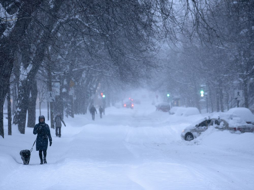
Get ready, Montreal! Winter's icy grip is tightening, and the first major snowfall of the season is predicted to hit the city as early as Tuesday. Environment Canada has issued a weather advisory, warning residents of potential hazardous road conditions due to freezing rain and significant snowfall.
Freezing Rain and Snow: A Dangerous Cocktail
The impending storm is expected to bring a mix of freezing rain and snow, particularly in southern Quebec, including the greater Montreal area, the northern suburbs, and the Outaouais region. Environment Canada strongly advises residents in these areas to consider working from home if possible, given the anticipated hazardous travel conditions.
Potential Impacts of the Storm
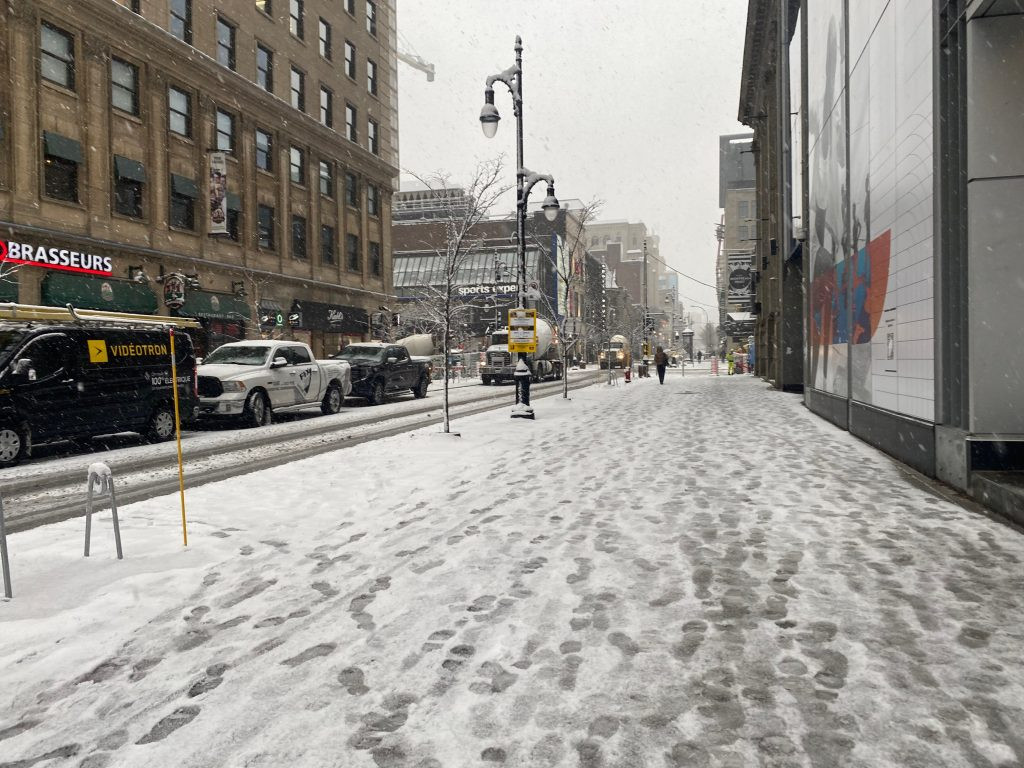
Roads, streets, sidewalks, and parking lots are predicted to become icy, starting as early as Tuesday morning. The heaviest precipitation is expected to impact Laval and Saint-Jérôme, with Montreal anticipated to experience freezing rain around 9:00 AM, lasting until midday. Temperatures are expected to reach a high of 7 degrees Celsius during the day in Montreal, dropping to a low of 2 degrees overnight. Meteorologist Dominic Martel from Environment Canada emphasizes the potential for hazardous road conditions throughout much of the morning, reiterating the recommendation for telework where feasible, due to the possibility of freezing rain occurring before the morning rush hour begins.
Uncertainty Remains for Later in the Week
While Tuesday's storm is relatively certain, the situation becomes more complex later in the week. A weather system is projected to move across Quebec on Thursday, but its nature remains unclear. The system's behavior is uncertain; it could bring negligible precipitation or a significant snowstorm, according to Martel.
Predictable Snow for Certain Regions
Despite the uncertainty, Environment Canada confidently predicts snowfall in the lower North Shore and eastern Gaspésie regions. These areas are expected to experience heavier accumulations of snow than the regions closer to the southern parts of Quebec. The eastern regions of the province may even see an accumulation of 15 to 25 centimeters.
First Snowfall in Southern Quebec: Is a White Christmas on the Horizon?
Many are eagerly awaiting the arrival of the first snowfall, and while the exact quantities are uncertain at this stage, the possibility of a white Christmas for the regions receiving this snowfall seems quite high, given the upcoming cold snap predicted to follow this week's storm. The snow is expected to be heavy and is predicted to persist on the ground for a longer period. However, as the timing of the arrival of the snow varies according to the trajectory of this system, some areas may be spared from this anticipated snowfall completely. While areas like the Estrie, Beauce, and eastern Quebec might see around 10cm of accumulation, heavier accumulations, potentially exceeding 15-25cm, are possible for eastern regions. The variable nature of the incoming system makes definitive predictions about which areas will receive snowfall tricky, for both snow enthusiasts and those dreading the task of shoveling. The evolution of the system will be closely monitored by both groups. The possibility of accumulating enough snow for a white Christmas is 'quite good,' says Environment Canada meteorologist Dominic Martel, although temperatures are expected to dip, there is no guarantee it will hold till December 24th.
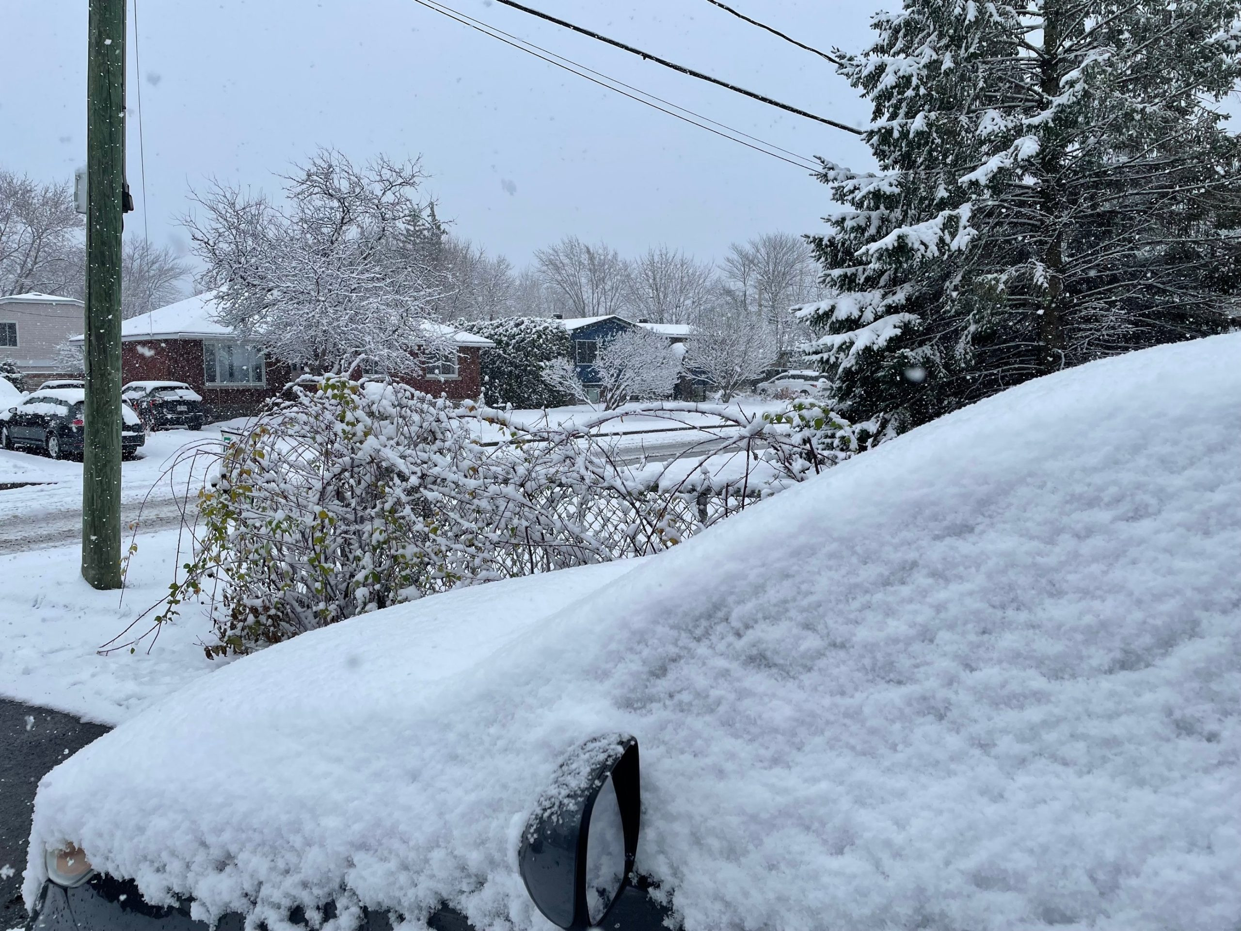
Several areas in Quebec have already seen their first snowflakes. These include the Laurentides Wildlife Reserve near Mont-Tremblant, along with the northern reaches of Quebec and the higher elevations of the Saguenay, Beauce, and Gaspésie Park. As the week unfolds, the details of this winter storm will come into sharper focus. Stay tuned to Environment Canada for ongoing updates and remember to prepare for the impending winter weather conditions, taking caution when traveling. The exact amount of snow accumulated will be determined by the direction of the storm, impacting which areas will receive more accumulation. With the uncertain nature of this upcoming system, we should prepare for possible changes to the snow forecast.
For all the latest weather updates, stay tuned to our website. We will be updating this report as further information becomes available. Remember to stay safe this winter season!


