Ontario's Sudden Winter Fury: 100+cm Snow Blankets Parts of the Province; GTA Braces for First Major Snowstorm
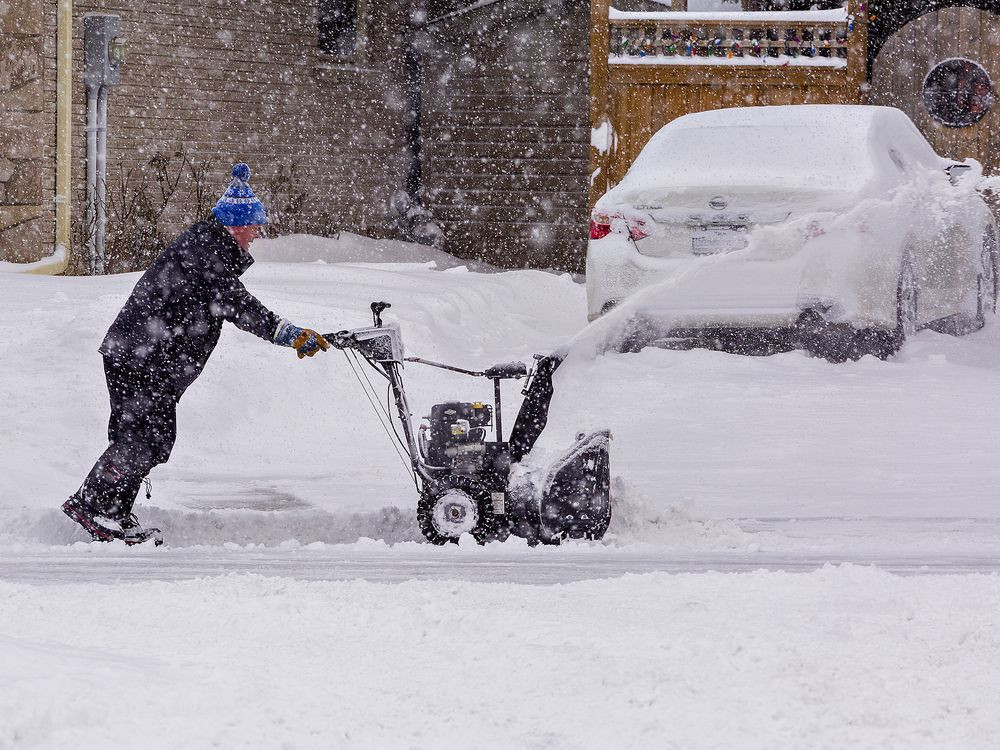
After an unusually mild fall, a historic lake-effect snowstorm has unleashed its fury upon parts of Ontario, leaving communities buried under extraordinary amounts of snow and grappling with ongoing cleanup efforts. The storm, which began last Wednesday, has shattered snowfall records in several regions, with some areas receiving over a metre of accumulation. Now, the focus shifts to the Greater Toronto Area (GTA) and other southern regions as they prepare for their first major snow event of the season.
Unprecedented Snowfall Totals
The preliminary snowfall totals from Environment Canada paint a startling picture of the storm's intensity. Gravenhurst, in the Muskoka region, has recorded a staggering 140 centimetres of snow, while Echo Bay saw an astonishing 136 cm. Bracebridge, another hard-hit community, experienced an estimated 125 cm, and Sault Ste. Marie reported 105 cm. These figures represent not only significant snowfall but also new records for the region. Other parts of the province were also impacted, though to a lesser extent, with Beatrice seeing 62 cm, Markdale 59 cm, and London 57 cm.
Global News meteorologist Anthony Farnell described the snowfall as “unbelievable,” emphasizing the unusual nature of such a significant event following a mild fall. Residents in Muskoka and the Sault Ste. Marie area are still in recovery mode, with Gravenhurst remaining under a state of emergency declared over the weekend. Emergency services faced widespread disruptions, including highway closures and hundreds of stranded vehicles.
Highway Reopenings and Ongoing Challenges
Highway 11, closed earlier due to the severe weather, reopened Monday night in both directions between Orillia and Huntsville. However, police are urging caution, reminding drivers that additional vehicles on the roads increase risks for everyone involved and hinder snow removal efforts. All obstructions have since been cleared.
The Storm Isn't Over Yet
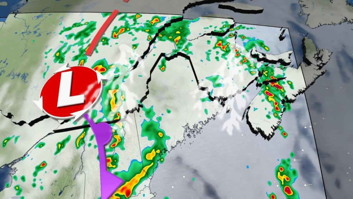
Environment Canada warns that the snowfall is far from over. Additional flurries are anticipated Tuesday night into Wednesday, and regions near Georgian Bay and Lake Huron should brace for another 40 cm of snow. Southern Niagara, the Lake Erie shoreline, and eastern Ontario could see between 10 and 20 cm. These potential snow squalls might be upgraded to warnings, highlighting the continuing threat to several communities.
GTA's First Major Snowfall
The Greater Toronto Area is expected to receive its first significant snowfall this Wednesday, with Environment Canada predicting close to five centimetres of accumulation before the snow tapers off by evening. The agency cautions that the winter weather could result in reduced visibility and hazardous driving conditions, particularly impacting rush hour traffic.
Impacts on Commuting and Travel
Commuters in the GTA and surrounding areas should expect slower commutes and challenging driving conditions. Areas along the immediate shorelines may experience lower accumulations due to melting, but a few kilometres inland could see 5-10 cm. The potential for whiteout conditions, especially in the southern Niagara region and along Highway 401, warrants extra caution.
Snow Squall Warnings in Other Regions
Meanwhile, further north, Greater Sudbury and the surrounding area are under a snow squall warning. Locally, heavy snowfall with accumulations of 30 to 50 cm is expected, especially east of Sudbury. Environment Canada warns of very poor visibility and the possibility of power outages due to the heavy, wet nature of the snow. Similar warnings and watches are in place for other northern regions of Ontario including Manitoulin Island, Elliot Lake, and Parry Sound.
Preparing for the Worst
The warnings emphasize the need for preparedness. Public Safety Canada advises making an emergency plan and having an emergency kit with necessities like water, food, medicine, a first-aid kit, and a flashlight. Staying informed through Environment Canada alerts and forecasts is crucial, particularly for those undertaking travel in affected areas. Residents are advised to postpone non-essential travel and inform others of their schedules and destinations if they must travel.
A Look Ahead: What to Expect
The snowy and blustery conditions are likely to persist into Thursday morning. Bursts of heavy snow and snow squalls will continue in several areas. In the GTA, temperatures will hover around freezing, potentially rising slightly along the lakeshores, while areas further inland remain below freezing. The wet nature of the snow increases the risk of localized power outages. Snowfall will continue over the Ottawa region through Thursday afternoon before tapering off in the evening. It is important to stay informed regarding weather alerts and forecasts and to adjust travel plans accordingly. Remember to always prioritize safety during this severe weather event.
This first major snowfall of the season, outside of the snowbelt regions, has already disrupted communities and is posing a significant challenge for the entire province. Staying prepared and informed is crucial to ensuring the safety of all Ontarians during this period of severe weather. The coming days will undoubtedly require continued vigilance and adaptability from all residents.


