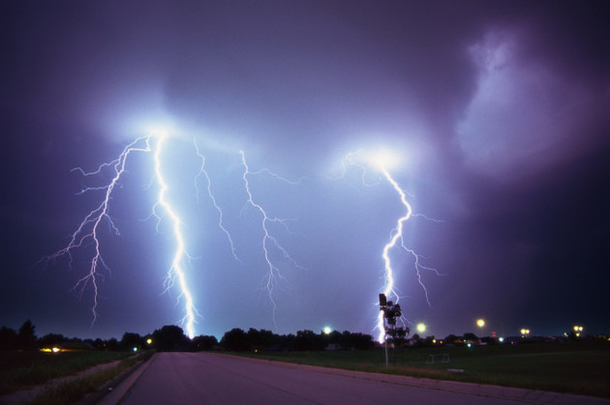
Following a relative lull in thunderstorm activity, severe weather and flash flood threats will return to a large swath of the nation's midsection later this week, warn AccuWeather meteorologists. The same storm system that will trigger the heavy rain and ferocious thunderstorms will bring a dramatic pattern change to the West early this week. It will be separate from a tropical wind and rainstorm which is expected to make landfall on the East Coast. Storms packing damaging wind gusts and hail, as well as repeated downpours which can overwhelm storm drains, but deliver some drought relief, can be expected across a dozen states this week, especially on Tuesday and Wednesday.
Following small, and limited risks for strong thunderstorms in the northern Plains through Monday, AccuWeather meteorologists say the severe weather threat will kick off in earnest on Tuesday. "After a recent quiet period in terms of severe weather, storms will return to portions of the Central states this week and are expected to bring rain, wind and hail," said AccuWeather Meteorologist Gwen Fieweger.
The risk from Tuesday afternoon into the night will stretch over a thousand miles from western Texas and eastern New Mexico north to Montana and the Dakotas. By Wednesday, it will reach east and encompass millions more, including around Omaha.
Severe Wind and Hail Concerns
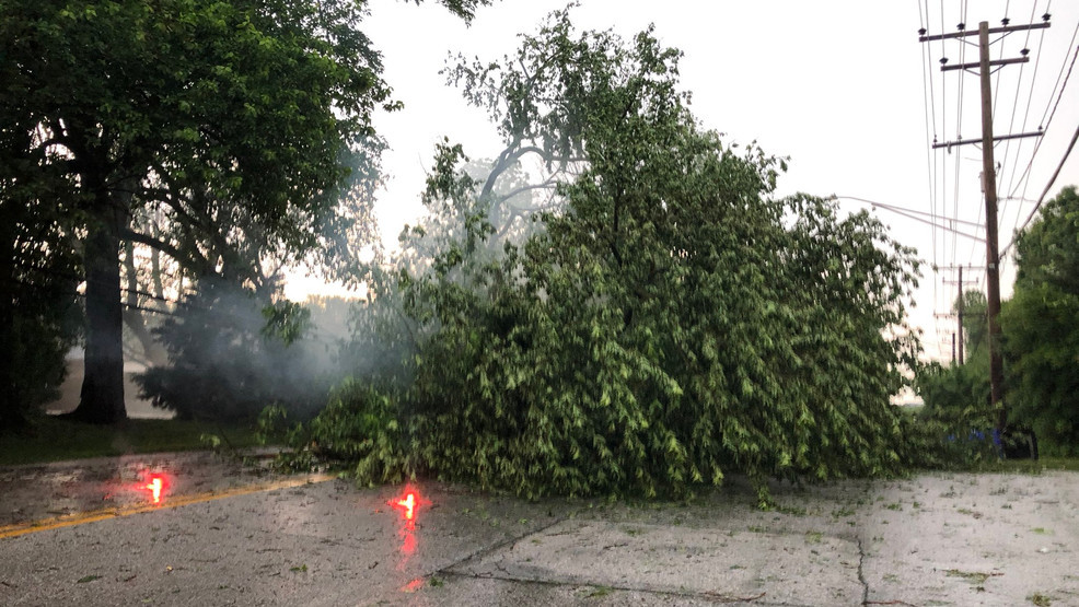
"Alongside the risk for localized flash flooding, severe wind gusts are also a concern this week, with the strongest winds expected on Tuesday afternoon into the evening hours within the more intense storms," said Fieweger. "Hail will be a possibility as well on both Tuesday and Wednesday." The thunderstorms will be most likely each afternoon and evening, as daytime heating will drive their development and strengthening. They will roll to the east, impacting travelers along portions of Interstates 40, 70, 80, 90 and 94.
The risks from thunderstorms will wane some after the middle of the week, as the atmospheric energy helping to fuel the storms will move to the north into Canada.
Flash Flood Threat and Drought Relief
Perhaps the greatest and most widespread concern this week will be from heavy rain, which can lead to flash flooding, but also relieve drought conditions, say AccuWeather meteorologists. "As the week progresses, each successive round of rain tracking over the central and northern Plains will begin to increase the risk for localized flooding issues," said AccuWeather Meteorologist Brandon Buckingham.
In many instances, multiple thunderstorms can track over the same areas in the course of just a few hours' time, leading to several inches of rain and downpours that can overwhelm drainage systems. The flood risk may come in two waves over the next week-the first coming with the severe weather risk on Tuesday and Wednesday, and another late in the week and into next weekend as another storm emerges from the West. For those with agricultural interests, the prospects of heavy rain is not all bad news.
Benefits for Agriculture and Major Rivers
"Although there is a risk for flooding from the series of events, the rain will be beneficial for the major rivers in the region and farther downstream, especially across the Mississippi and Missouri River basins," added Buckingham. According to the latest U.S. Drought Monitor released last Thursday, large swaths of the nation's midsection were abnormally dry or under drought conditions. The most severe drought was located over portions of Kansas, Nebraska, Wyoming, Montana and the western Dakotas, many of the same areas expected to see rounds of heavy rain this week.
Central Texas Braces for Storms
Austin, TX – Isolated thunderstorms are forecast to hit Austin and surrounding areas this Sunday, marking a shift from the current warm, dry conditions. The storms, expected to continue into Monday, could bring rain and cooler temperatures to much of the region, especially to the south. According to the National Weather Service (NWS) in Austin/San Antonio, highs will stay in the 90s through Saturday, but cloud cover will increase. Sunday and Monday may see isolated storms across parts of South-Central Texas, potentially disrupting outdoor activities. Temperatures are expected to drop to the mid-70s overnight, providing some relief from the heat. Residents are urged to monitor weather updates closely and take precautions during outdoor events. Looking ahead, conditions will stabilize by Tuesday, with highs in the upper 80s and minimal impacts. However, those planning weekend activities should remain alert for sudden changes in the weather and avoid flood-prone areas. Keep an eye on forecasts for updates.
Isolated Storms to Hit Central Texas Sunday
Fort Worth, TX – Strong storms are expected to impact parts of Fort Worth and surrounding areas on Sunday evening, with gusty winds and isolated lightning strikes possible. The storms are predicted to begin around 4 p.m. and continue through 9 p.m., primarily affecting the Big Country and western Central Texas. While most areas will stay dry, forecasters warn that some isolated storms could become severe, bringing the threat of strong winds and frequent lightning. According to the National Weather Service, Sunday’s storms will form in a concentrated area, with cities like Graham and Waco at risk of experiencing downburst winds. Residents are encouraged to monitor weather updates and stay indoors during the storm to avoid potential hazards. The rest of the week will see low chances of rain and partly cloudy skies, keeping temperatures in the high 90s. Monday’s weather looks clearer, with no major rain expected and temperatures staying warm. However, residents should stay alert for any sudden changes in the forecast as isolated storm patterns remain a possibility. Stay tuned to local updates for the latest safety information.


