Storm Éowyn: Ireland to Face High-Impact Winds, Heavy Rain, and Potential Snow
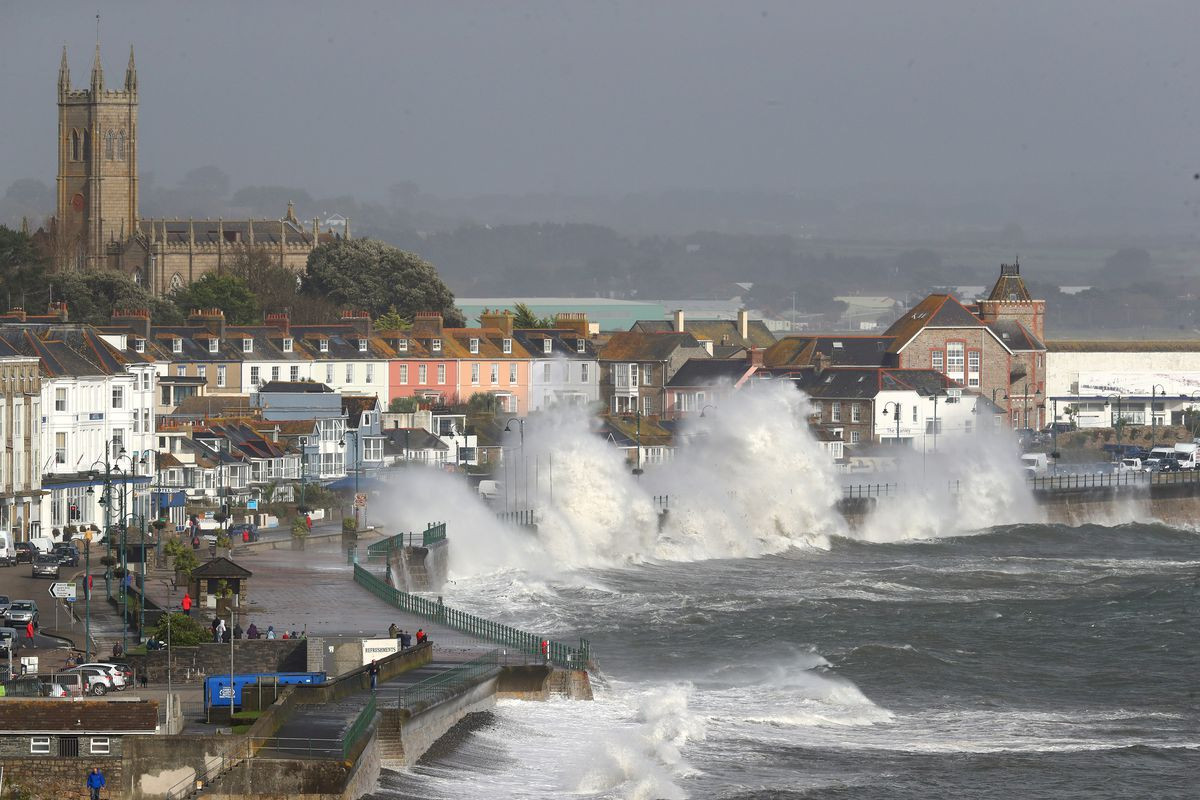
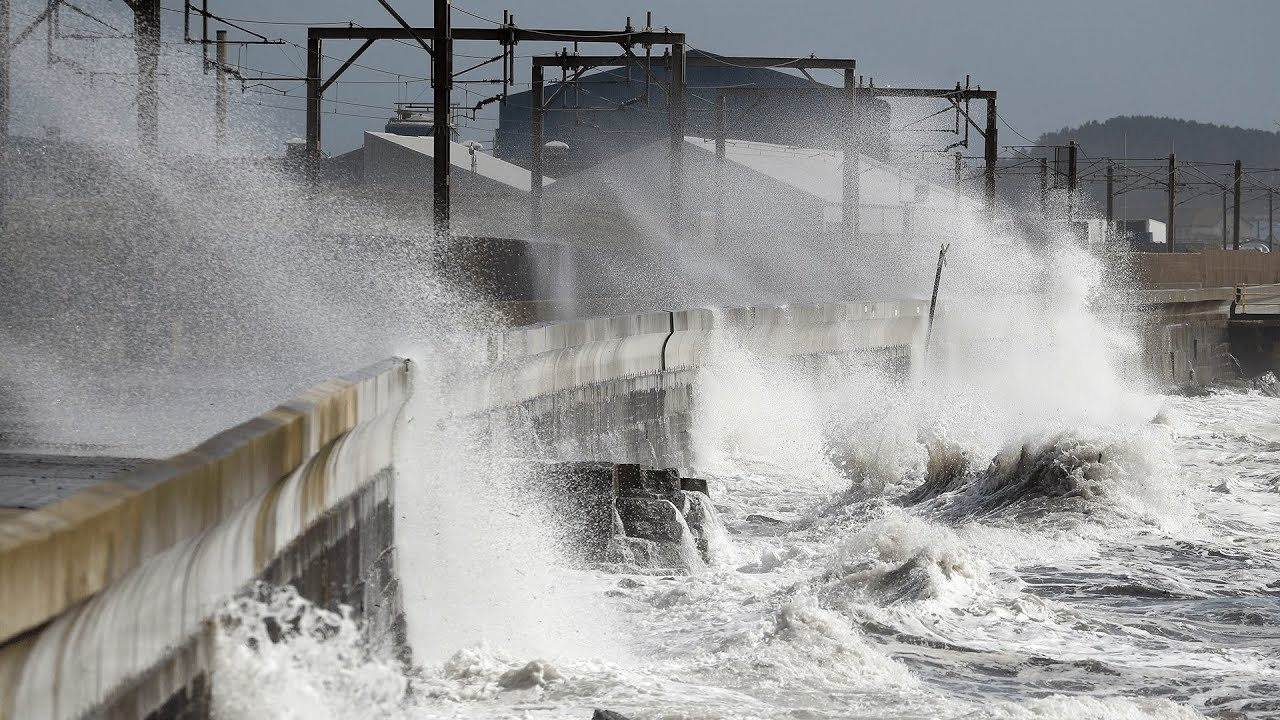
Ireland is preparing for a significant weather event as Storm Éowyn, a deepening low-pressure system, is set to track close to the northwest of the country. The Irish Meteorological Service (Met Éireann) has issued an advisory warning of very strong winds, heavy rain, and the potential for sleet and snow, particularly in western and northwestern counties. The main impacts are expected to be felt overnight on Thursday and into Friday.
Met Éireann's Warning and Forecast
Met Éireann's Deputy Head of Forecasting, Liz Coleman, described the situation: “Storm Éowyn will bring wet and very windy conditions on Friday, especially in the west and northwest. The very strong southwest winds with damaging gusts will start to be felt late on Thursday and will cause dangerous travelling conditions on Friday, with the likelihood of trees down and potentially power outages. Wave overtopping is also expected at high tide. There could be localised flooding further into Saturday associated to the heavy rain and to the snow melt.”
The forecast includes very strong winds with gusts potentially reaching 130km/h in parts of Kerry, Cork, and Waterford by Friday morning. The entire country will experience strong winds, with western and northwestern counties likely facing status orange wind warnings as a minimum. Met Éireann is closely monitoring the situation and will issue more specific warnings as its high-resolution model provides more precise information two days in advance. They are working closely with the NDFEM and emergency management stakeholders to ensure timely updates.
The initial rain is expected to transition to sleet or snow in some northwestern areas but quickly revert to rain as the system moves. A figure from Met Éireann shows a sweeping pattern of heavy rain across the country from Thursday night into Friday. Another figure illustrates the forecast wind speeds and gusts, highlighting areas under different warning levels.
Storm Éowyn's Name and Origin
The name Éowyn (pronounced Ay-oh-win), has sparked curiosity. It is most famously known as the name of a female warrior in JRR Tolkien’s Lord of the Rings. The name is believed to be derived from Old English words for “horse” and “joy,” possibly reflecting Rohan’s reputation as a horse-riding people. While Tolkien may have popularized the name, evidence suggests it existed as a surname prior to the publication of The Lord of the Rings. The decision to name the storm is part of an initiative undertaken by Met Éireann, the UK Met Office, and KNMI to provide more effective communications during high-impact weather events. Each organization submits names to a season's list, and the name is chosen by the national weather service whose region is expected to be the most impacted.
Preparing for Extreme Weather
Met Éireann emphasizes the importance of staying updated on weather warnings and forecasts through their social media channels, website (www.met.ie), and app. They highlight that impacts can vary significantly within a warning area, even when severe weather is forecast. Previous weather conditions can also influence the severity of impact. The advisory issued by Met Éireann urges people to be prepared for potentially dangerous conditions, including the possibility of power outages, fallen trees, and hazardous driving conditions. The service will continue to monitor the situation and will provide updates as the situation develops.
The Aftermath and What Lies Ahead
While a brief respite is expected on Saturday as Éowyn moves away, another low-pressure system is being monitored, potentially bringing impactful winds and rain on Sunday. This system however, is uncertain and more updates are to be expected as the week progresses. Authorities across Ireland are actively preparing for Storm Éowyn's impact, focusing on emergency response and public safety. The advisory and preparedness efforts reflect a deep understanding of the potential for widespread disruption and the need to keep the public informed throughout the duration of the storm.
Riding Out the Storm: A Look Ahead
The coming days will undoubtedly be challenging for many across Ireland. The strength of the storm's wind, coupled with potential heavy rainfall and snow, will test infrastructure and communities alike. The key now is preparation. Staying informed through official channels, securing loose objects, and having a plan in case of power outages will all contribute to minimising the impact of the storm and ensuring public safety. Further updates will follow as more data becomes available; this event serves as a reminder of the power of nature and the importance of preparedness and vigilance during periods of extreme weather. This is likely to be a significant weather event requiring significant community preparedness and the cooperation of all parties.