Maryland is under a tornado watch as Tropical Depression Debby brings the threat of heavy rain, flooding and potential tornadoes to the state. The storm, which was downgraded from a tropical storm earlier Thursday, is expected to bring the strongest impacts to Maryland by early Friday morning, persisting through the afternoon.
Chief Meteorologist Tom Tasselmyer said Baltimore will be on the east side of Debby, which means storms could spin up tornadoes in Maryland overnight and into early Friday morning. The strongest impacts of the storm system in the Baltimore area will arrive in Maryland by early Friday morning and persist through the afternoon with gusty winds of about 30-40 mph, strong thunderstorms and the possibility of tornadoes east of the storm track.
Potential Impacts of Tropical Depression Debby
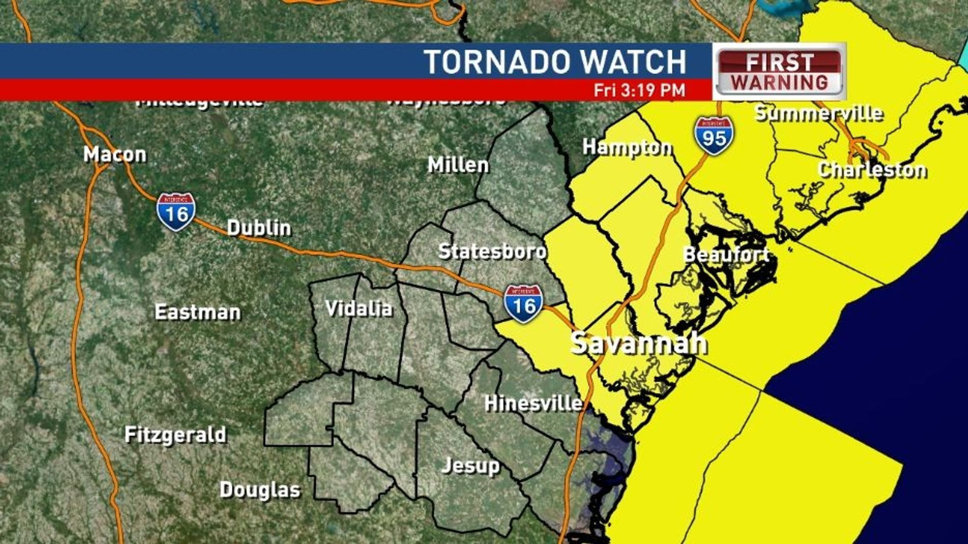
The National Weather Service has issued a tornado watch for 12 counties in Maryland, including Anne Arundel, Baltimore, Calvert, Carroll, Cecil, Charles, Frederick, Harford, Howard, Montgomery, Prince George's and St. Mary's counties. The watch is in effect from 7 a.m. Friday until 7 a.m. Saturday. A tornado warning was issued for Montgomery County Thursday evening but expired by 6 p.m.
Flooding
Along the storm track and to its west, there will be very heavy rain and gusty winds. The worst of the rainfall is expected to fall in the Western Maryland mountains. Some 1-4 inches of rain is expected near and east of the Interstate 95 corridor with 4-8 inches likely along and west of the Blue Ridge mountains through Friday evening.
As of Thursday afternoon, Western Maryland is under a Flood Watch Friday afternoon to Saturday afternoon. Significant flooding is likely on small rivers and streams where the heaviest rain falls. Mainstem river flooding is possible along parts of the Potomac, Monocacy, Rappahannock and Shenandoah rivers.
Coastal Flooding
A coastal flood advisories and warnings are in effect through early Saturday for parts of the Eastern Shore and Anne Arundel County. Minor to moderate tidal flooding is likely along the Chesapeake Bay and tidal Potomac River.
State of Preparedness
Maryland Gov. Wes Moore on Tuesday signed a state of preparedness declaration ahead of the storm's potential arrival in the state later this week. “We have seen the images of damages caused by this storm in the south, so it is important that Maryland remains vigilant as we prepare for the possible effects on our state,” Moore said in a statement released Thursday. “The Maryland Department of Emergency Management has coordinated with the National Weather Service and our state and local partners to prepare. We also want all Marylanders to remain vigilant and to be prepared — reach out to relatives, friends and neighbors to offer help to those who may be vulnerable.”
To receive state alerts, tips and resources related to threats and hazards affecting or that may affect Maryland, text “MdReady” to 211-631 or text “MdListo” to 211-631 for Spanish.
Local Preparations
The city of Annapolis announced it's making preparations for potential flooding, downed trees and power outages. If necessary, the Annapolis departments of Public Works and Recreation and Parks will deploy damage assessment teams, and “cut and toss” teams for debris removal. The Annapolis Office of Emergency Management will coordinate cleanup efforts.
Sandbags
Sandbags will be made available from 9 a.m. to 1 p.m. Thursday at City Dock (1 Dock St.) for Annapolis residents and businesses only.
The mayor said on Wednesday that the city has drafted an unsigned state of emergency declaration in preparation to be ready in the event it's needed. Officials plan to activate the city's emergency operations center starting Thursday to manage emergency responses.
Baltimore City Preparations
The Baltimore City Department of Transportation is making sandbags available from 1-6 p.m. Thursday for residents at three locations across the city, particularly for residents in frequently flooded areas.
Parking
The Parking Authority of Baltimore City is making free parking spaces available to Fells Point residents from 10 a.m. Thursday until Saturday in city-owned parking facilities as follows.
Emergency Shelter
An emergency shelter will open Friday and Saturday at the Robert C. Marshall Recreation Center. The rec center will close early at 6 p.m. Thursday to make way for preparations.
Event Cancellations
The Baltimore City Department of Recreation and Parks has canceled all outdoor permitted events and all outdoor recreation activities, including BCRP-sponsored summer camps. All pools will close Thursday and Saturday, and the Teen Pool Party scheduled for Friday night is canceled.
BGE Prepares for Potential Power Outages
Baltimore Gas and Electric released a statement Thursday, saying it has scheduled additional of its own crews as well as contractors to respond to any potential storm-related power outages this weekend.
BGE reminds customers to report outages as follows.
The company has state-of-the-art technology in place to detect and circumvent power outages. Half of the power outages are caused by trees and other vegetation falling on wires, according to BGE.
Lessons Learned from Previous Storms
Nancy Schuler, the assistant general manager at Papi's Tacos in Hampden is just getting over last week's storm which knocked out power to her business. Electricity didn't return for over two days. Quick thinking helped her scramble to preserve food.
“We put it in our vehicles,” Schuler said. “We have catering carts, we took some of it over in carts and some over in cars.”
Although Schuler lost power, a BGE spokesperson said last Saturday's storm could have been much worse. The company has an automated system in place that prevented more than 127,000 outages.
“That can isolate outages, reconfigure the system automatically to re-route power, and bring customers back online who lost service,” said BGE spokesperson Nick Alexopulos. “And isolated the outage to as fewer customers and possible so our crews can go out and restore it.”
BGE's Technology and Response
During a powerful storm, the lights flicker. But BGE said that's actually a good sign. It means your power is not likely to go out. BGE installed re-close sensors throughout its system, which detect potential disruptions.
“What it does, it senses a fault on a line and will open and close it a few times to check to see if the the fault has cleared,” said Alexopulos. “It automatically restores power to customers. They don't have to wait, and we can devote our time to outages that affect the most people.”
When power does go out, people wonder for how long, and what the priority is to restore it.
“First, we are addressing critical infrastructure, pumping stations and hospitals,” Alexopulos said. Then, we are going after outages that have been persistent for the longest period of time and where it will get the most people back in service.”
Stay Prepared
Schuler has some state-of-mind advice.
“You just got to go with it,” she said. “You got to do what you got to do to survive.”
BGE reminds the public that fallen overhead power lines should never be approached or touched, even if the lines do not appear to be live or sparking. Additionally, if you smell gas, get at least 100 feet away and call BGE immediately.
Maryland Rescue Team Deployed to South Carolina
A group of Maryland rescue teams are in South Carolina to respond to Debby. The Maryland Task Force One urban search and rescue team left Sunday night. The team's 45 members come from the fire departments of Montgomery, Howard and Frederick counties. The team may move to another region, depending on needs, during its two-week deployment.
Understanding Tropical Storm Warnings and Watches
Tropical storms and hurricanes each have two descriptors, a watch and a warning. Watches and warnings are issued in advance of the onset of tropical storm force winds (39-73 mph).
Watch
This means tropical storm or hurricane conditions are possible in the “watch area.” A watch is issued up to 48 hours in advance of the onset of tropical storm-force winds.
Warning
This means tropical storm or hurricane conditions are expected in the “warning area.” A warning is issued up to 36 hours in advance of the onset of tropical storm-force winds.
Hurricane Season Preparedness in Baltimore
Hurricane season can be a daunting time of year if you live in a hurricane-prone region like the Mid-Atlantic. A single hurricane making landfall can leave a trail of devastation, especially in the most flood-prone areas of Baltimore.
While it's rare for an actual hurricane (that is, a storm with sustained winds above 74 mph) to make landfall in Baltimore, it's not uncommon for the remnants of one to bring storm surges, heavy rainfall and high winds, which can be plenty destructive. (The most recent hurricanes to cause major damage in Maryland were Irene in 2011 and Isabel in 2003.) Low-lying areas of the city -- such as Mount Washington, Clipper Mill and Fells Point -- are particularly vulnerable to flooding.
Hurricane Preparedness for Homeowners
Here are some of the most important hurricane preparedness recommendations for homeowners in Florida and in other hurricane-prone states.
Know Your Evacuation Zone
The Maryland Department of Emergency Management makes it easy to know if you need to evacuate during a hurricane or tropical storm. Visit KnowYourZoneMD.com and enter your address to find out what evacuation zone you live in (they're color-coded and labeled either A, B or C). During severe weather, you'll then receive instructions on whether to evacuate or shelter in place. The highest risk areas will be evacuated first, followed by lower risk zones, if needed. (Note that even if you don't live in one of the three official zones, you might still need to evacuate, depending on the weather situation.)
Know Your Evacuation Routes
Before or during a hurricane, you might be ordered to evacuate your home. Find out the locations of your closest shelters and figure out how you will get to them. While Baltimore does not designate specific evacuation routes, you can plan ahead by looking up alternative driving routes. If possible, keep a map in your vehicle so you can redirect yourself on the fly, if necessary.
Assemble an Emergency Kit
Make sure you have enough food, water and medical supplies for each family member to last at least two or three days. Your hurricane supply kit should also be stocked with a radio, extra batteries, a flashlight, space blankets and important documents.
Plan for Your Pets
Your pets are important members of the family, and they need to be taken care of during an emergency. Learn which shelters do and don't accept pets. Or, you can consider a pet-friendly hotel that's outside the evacuation zone.
Use FEMA's Mobile App
FEMA's mobile app has many disaster resources, including safety tips and weather alerts. It also has a checklist of emergency supplies and shelters and will keep you updated with real-time alerts from the National Weather Service.
Prepare Your Home
Once you've made your emergency plan and assembled your emergency kit, it's time to prepare your home. While this list can feel overwhelming, it doesn't have to be done all at once. Instead, start working your way through the list now, and check off items once completed.
Protect Your Home
If you live in an area that experiences hurricanes and tropical storms, it's important to have the right insurance coverage.
Tornado Warning Issued in Montgomery County
A tornado warning was issued Thursday evening for Montgomery County until 6 p.m. The warning was issued after enough rotation was detected within the storm system, prompting immediate action for those in the affected area. The storm, which has been producing heavy rain across parts of the county, particularly along and east of Interstate 270, has shown signs of rotation that have raised concerns. Residents in Redland and a small sliver of Montgomery County just north and west of Aspen Hill, including Route 28 and up to Route 124, are urged to take shelter immediately.
Unusual Rotation
FOX 5 meteorologist Caitlin Roth says the affected areas, include Avery, Sycamore Acres, Manor Park, and neighborhoods near Route 200. The storm is moving north-northwest, placing communities between Gaithersburg and Olney, including Redland, in the path of potential tornado activity.
Roth says the storm doesn’t show the traditional hook often associated with tornadoes. Instead, it features what is known as an “S curve” within the cell, indicating wind patterns that could result in rotation. Roth says this is not your typical weather event. The rotation in the winds is causing these cells to produce tornadoes without the usual storm signs.
FOX 5 Skycam Captures Storm Activity
A FOX 5 Skycam near Rockville captured images of the storm, showing significant movement within the cloud deck. The camera provided a view of the lowering cloud base, which Roth noted as an indicator of potential tornado formation.
This storm is parallel to Interstate 270, with a velocity couplet detected just east of Rockville, indicating rotation.
Potential for Renewed Tornado Threats
Residents along Bowie Mill Road and Applewood Lane should be especially cautious as the storm passes.
As the evening progresses, more tornado warnings may be issued.
The current warning, set to expire at 6 p.m., is just one of many possible warnings as the storm system continues to move through Montgomery County and beyond.
Additionally, a flood watch is in effect for the D.C. metro area, with heavy rain expected to continue through the night and into the early morning.
The National Weather Service is monitoring the situation closely. They reported a funnel cloud near the Grosvenor Metro station, though no ground touchdown has been confirmed.
We’re seeing the rotation stretch out and weaken, so the tornado warning is expected to expire soon.
Residents are advised to remain vigilant and prepare for possible renewed tornado threats later in the night, along with potential flash flooding.
As always, if a tornado warning is issued, take shelter immediately, preferably in a basement or an interior room on the lowest floor of a sturdy building.
Flood Watch in Effect for D.C. Metro Area
A Flood Watch is currently in effect for the entire Eastern West Virginia, northern and central Virginia, and central and western Maryland. The National Weather Service says scattered to numerous instances of flooding are possible, especially on Thursday night.
There is a considerable threat of flash flooding for areas near the Blue Ridge Mountains.
This is a developing story. Check back with FOX 5 for updates.