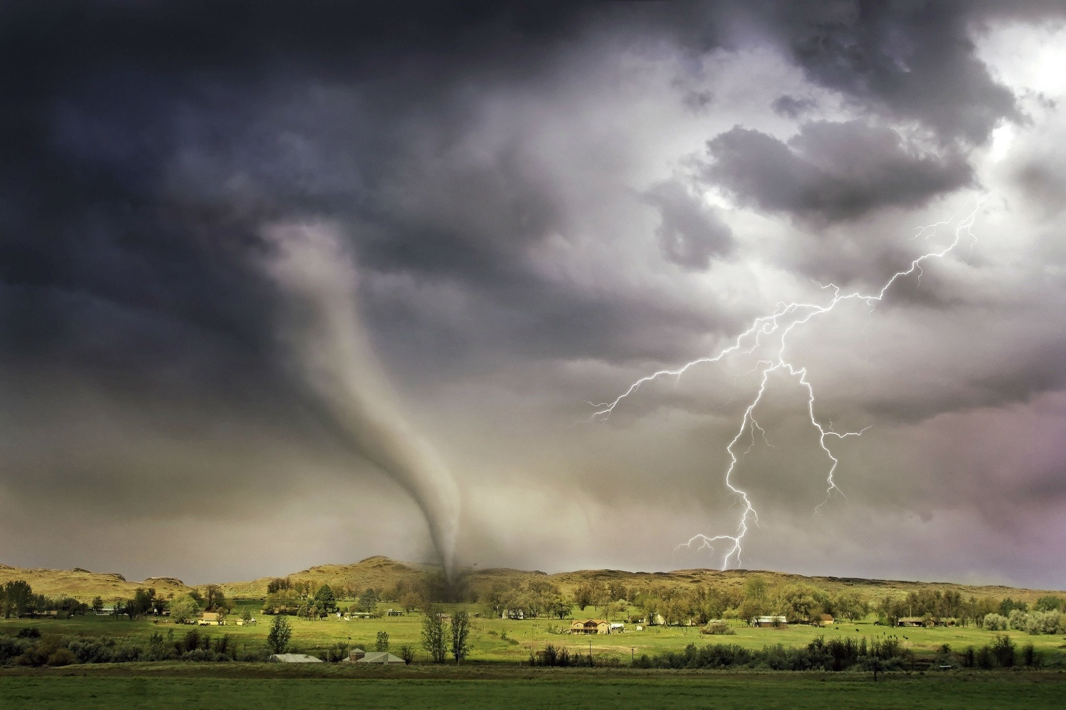
A tornado has swept through Aldershot in Hampshire, terrifying residents and leaving a trail of destruction. Trees were brought down, roof tiles were dislodged and some buildings suffered structural damage by the tornado. According to the Storm Research Organisation (TORRO) - a private research body - it ranked between one and two (between mild and moderate) out of a maximum of 10 on a scale of intensity. A moderate tornado is ranked as having wind speeds of up to 92mph, although the speeds still need to be verified.
Footage from Aldershot - which borders Surrey - showed intense swirling winds and pictures of downed trees and damaged buildings, with tiles dislodged, roofs ripped off and collapsed chimneys. Sarah Horton, a site investigator for TORRO, told Sky News: "The preliminary estimated path length is 2km. The tornado was weak, but we haven't given it a final rating yet. It is an estimated T1/T2 rating."
She added: "Although it was a weak tornado... for those affected, it will have been a frightening and damaging event. Householders will be trying to get their homes watertight before heavy rain arrives. The Met Office has a severe weather warning for heavy rain on Sunday."
The Tornado and Storm Research Organisation said it tracked the column of air moving about 1.2 miles (2km) through the Aldershot area shortly after 12:00 BST. Nobody is believed to have been injured, Rushmoor Borough Council said. The authority urged residents to call emergency services if they saw damaged trees they believed were dangerous.
Hampshire and Isle of Wight Fire and Rescue Service said: "Firefighters are part of a joint response at an incident in Aldershot after a number of properties and trees were damaged in strong winds. Crews from Rushmoor and Surrey Fire and Rescue Services were first called shortly after midday and are working closely with partner agencies to make the scene safe."
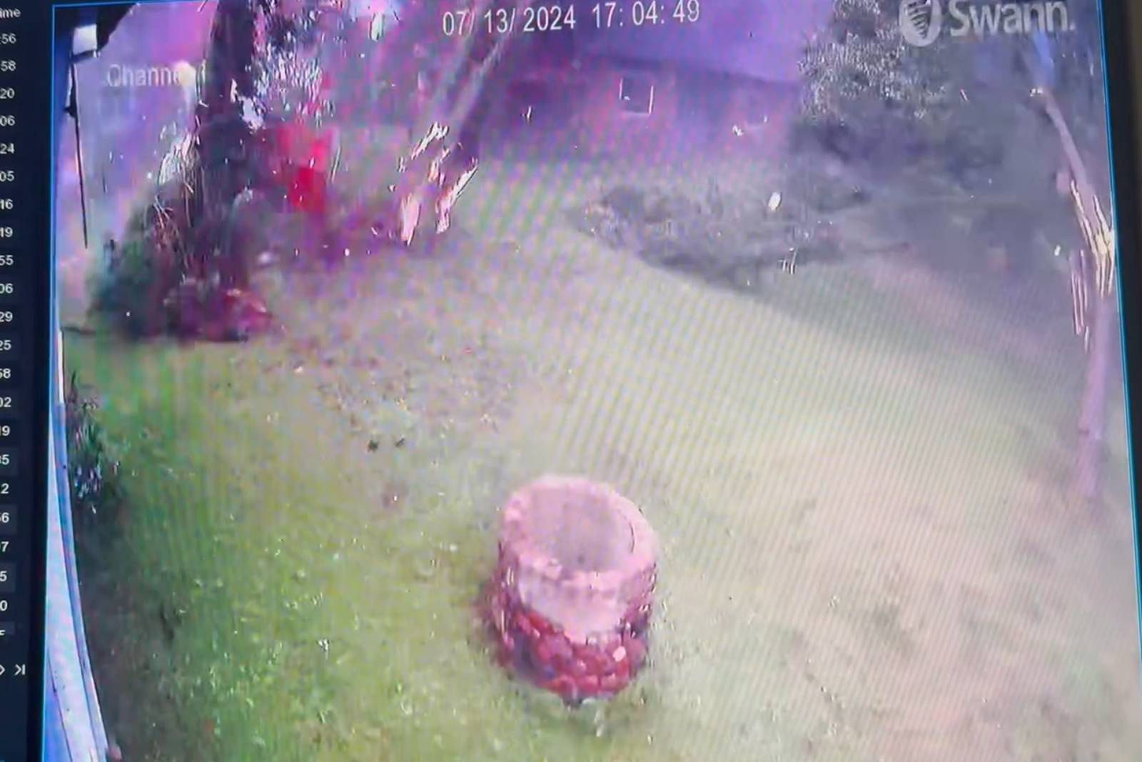
Videos from doorbell cameras have been posted on social media appearing to show the tornado blowing debris into the air. Roof tiles have been seen on roads and pavements in the area.
Senior BBC Weather presenter Alexis Green said: "The UK, on average, has close to 30 tornadoes per year, although this varies year-on-year, so they are part of our climate. They are rare at any one location, though. Today’s event was associated with the active thunderstorms in southern areas."
The tornado arrived a day after the Met Office issued a yellow thunderstorm warning and following a week of temperatures in the south regularly exceeding 20C. Thunder and lightning was seen across much of the region around the time the tornado was spotted.
Paul Knightley, head of the Tornado and Storm Research Organisation, confirmed it was a tornado. He told the BBC: “The formation of tornadoes is still the subject of intensive research, and their exact mechanisms are yet to be understood. In a broad sense, though, pre-existing rotation in the lower atmosphere can be stretched by the strong upwards-moving air in a thunderstorm, and focused into a tornado. This seems likely to have been what happened today.”
What Happened In Aldershot?
Amrita Mann, 35, a mum-of-two who captured footage on her doorbell camera, told Sky News her front door suddenly flew open "sending a gush of wind through my house" causing her conservatory doors to also burst open.
Ms Mann said: "It took both me and my daughter by surprise, causing her to cry. I ran to close it and could see debris flying across the pavement. I went back to settle my daughter and the next minute I see the tree in front of my house had been struck by lightning and come down. It was all very scary but my neighbours were amazing and they called upon friends who got the fallen trees cleared."
According to TORRO, the tornado struck around lunchtime and was around 140m at its widest point.
Aftermath and Ongoing Warnings
Forecasters have also issued a second yellow warning - but for thunderstorms - covering a 23-hour period, from 1am until midnight on Saturday. The Met Office has a severe weather warning for heavy rain on Sunday, and householders are advised to prepare for potential flooding.
Looking Ahead: Thunderstorms and Heavy Rain
A Met Office spokesman said: “Showers and thunderstorms are expected to merge into broader areas of heavy rain across parts of Wales, central and southern England during Sunday. There is a small chance that some rural communities will temporarily become cut off by flooded roads. Homes and businesses could be flooded, causing damage to some buildings. There is a small chance of power cuts and loss of other services to some homes and businesses. Spray and flooding could lead to difficult driving conditions and some temporary road closures.”
According to the Met, the risk of thunderstorms will persist into Saturday, and there with be potentially longer spells of heavy rain along with a continued risk of hail and lightning accompanying the most intense storms.
The worst storms are likely to batter parts of the Midlands, southern England and east Wales during Saturday afternoon and evening, the forecaster said.
Lightning strikes are expected to cause damage to buildings and short term losses of power, while spells of heavy rain and “large hail” could lead to travel disruption.
There is a small chance that homes and businesses could be flooded quickly, the forecaster added, with floodwater, lightning strikes, hail and strong winds potentially causing structural damage. Flooding is also likely to leading to road closures, making it possible that some communities could be cut off. Delays and cancellations to trains services are also expected, along with power cuts.


